River Levels
What is running right now
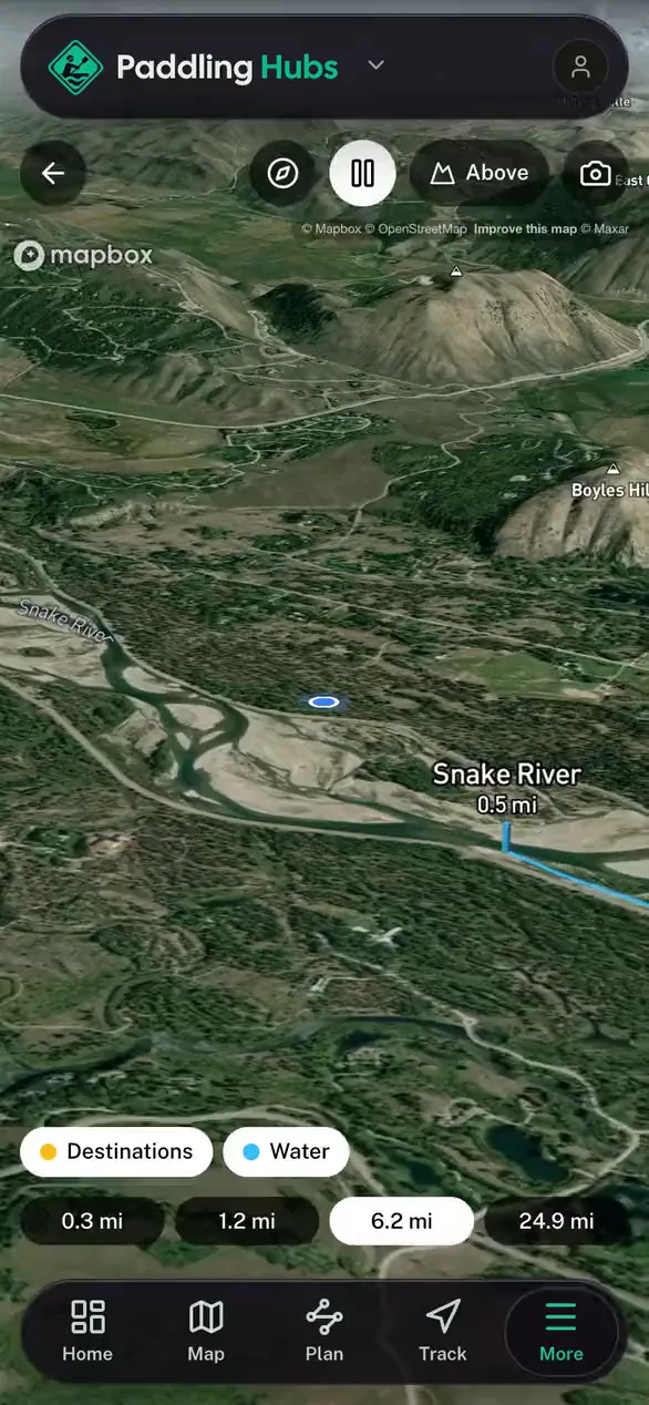
Live streamflow for 2,470 gauged river reaches, straight from USGS gauges that update hourly. Where the record allows, each reading is compared against that gauge's own history for today's date, so you get high or low rather than a number you have to interpret.
River levels by state
- Alabama river levels60 gauged reaches
- Alaska river levels22 gauged reaches
- Arizona river levels37 gauged reaches
- Arkansas river levels40 gauged reaches
- California river levels73 gauged reaches
- Colorado river levels84 gauged reaches
- Connecticut river levels49 gauged reaches
- Florida river levels30 gauged reaches
- Georgia river levels111 gauged reaches
- Idaho river levels55 gauged reaches
- Illinois river levels52 gauged reaches
- Indiana river levels77 gauged reaches
- Iowa river levels51 gauged reaches
- Kansas river levels34 gauged reaches
- Kentucky river levels62 gauged reaches
- Louisiana river levels17 gauged reaches
- Maine river levels27 gauged reaches
- Maryland river levels51 gauged reaches
- Massachusetts river levels54 gauged reaches
- Michigan river levels66 gauged reaches
- Minnesota river levels36 gauged reaches
- Mississippi river levels28 gauged reaches
- Missouri river levels72 gauged reaches
- Montana river levels39 gauged reaches
- Nebraska river levels41 gauged reaches
- Nevada river levels26 gauged reaches
- New Hampshire river levels38 gauged reaches
- New Jersey river levels45 gauged reaches
- New Mexico river levels33 gauged reaches
- New York river levels42 gauged reaches
- North Carolina river levels112 gauged reaches
- North Dakota river levels20 gauged reaches
- Ohio river levels78 gauged reaches
- Oklahoma river levels40 gauged reaches
- Oregon river levels69 gauged reaches
- Pennsylvania river levels113 gauged reaches
- Rhode Island river levels21 gauged reaches
- South Carolina river levels37 gauged reaches
- South Dakota river levels24 gauged reaches
- Tennessee river levels76 gauged reaches
- Texas river levels55 gauged reaches
- Utah river levels56 gauged reaches
- Vermont river levels54 gauged reaches
- Virginia river levels62 gauged reaches
- Washington river levels58 gauged reaches
- West Virginia river levels66 gauged reaches
- Wisconsin river levels45 gauged reaches
- Wyoming river levels19 gauged reaches
Readings come from the U.S. Geological Survey. A gauge tells you how much water is moving, not whether a run is safe: check the class, the hazards, and a current local report before you put on. Browse every mapped reach in the river explorer.