About Paddling Hubs
We gather rivers, live USGS gauges and river cams onto one free map so you can see whether the water is running, beside the liveries, outfitters and schools that run trips on it. Outfitters get one dashboard to run their business.
On the map
What we’ve mapped
Built from public data and from the businesses themselves, with the source kept on every record. All of it sits on one free map, and you never need an account to use it.
- Outfitters & liveries
- 1,023
- Rivers
- 77,727 mi
- Live river cams
- 1,133
- Rapids, falls & beaches
- 5,850
- Ramps, trailheads & visitor centers
- 613
Our story
Why we built this
Every paddler asks the same first question: is the river running? The answer has lived on a gauge page that does not say where to put in or who rents boats.
Paddling Hubs puts the gauge, the river, the rapids and the put-ins on one free map, with live river cams where they exist, and the outfitters right beside them.
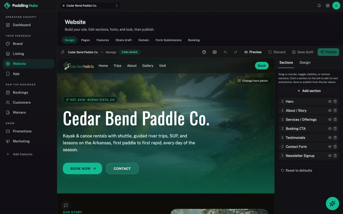
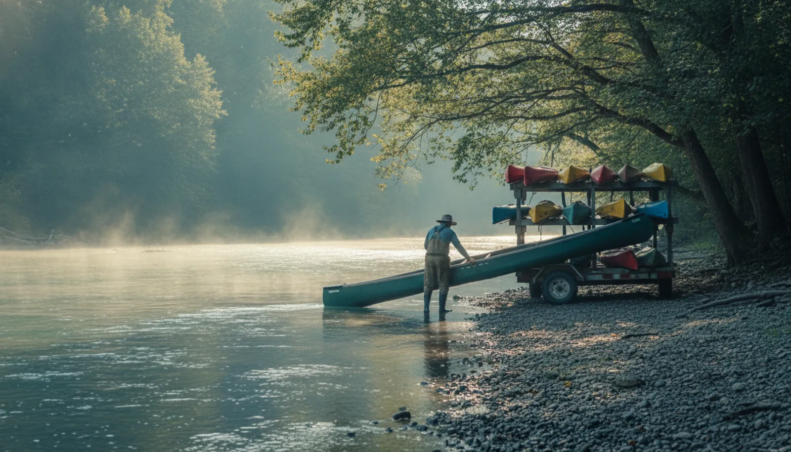
A livery on a hot Saturday is controlled chaos: waivers on paper, the shuttle on a whiteboard, the guided-trip roster taped by the register. Adding a listing is free, and one dashboard covers a website, online booking for trips, releases signed before anyone reaches the counter, and a review request after the trip.
What we believe
Waivers before the put-in
Paddlers sign on their phone from the booking confirmation, with a parent signing for minors. You write the release your water needs.
Is it running?
Every gauged river shows its latest USGS reading and whether it is running today, free and without an account.
Paddler-friendly
Book a trip and get the waiver in the same confirmation. No paper clipboard at the launch.
From first paddle to Class IV
A two-van kayak livery or a full whitewater expedition outfitter. One platform fits either footprint.
Watch
GoHubs in one minute.
Every activity, one free app. See the map, conditions, route planner and trails in action.
The network
Part of the Great Outdoor Hubs network
Great Outdoor Hubs is the company behind a family of outdoor activity sites and one free app, GoHubs. Our work starts with data. Trails and forest roads, rivers and live gauges, tides and marine forecasts, public land, campgrounds and fish stocking all come from the agencies that publish them, and we keep the source attached.
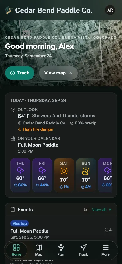
Then we make it useful. The same data runs the maps, conditions, planners and listings on every site, and goes into the field with the GoHubs app, whose GPS tracks keep recording with no signal. Every site shares one platform, so a tool built for one activity reaches the rest.
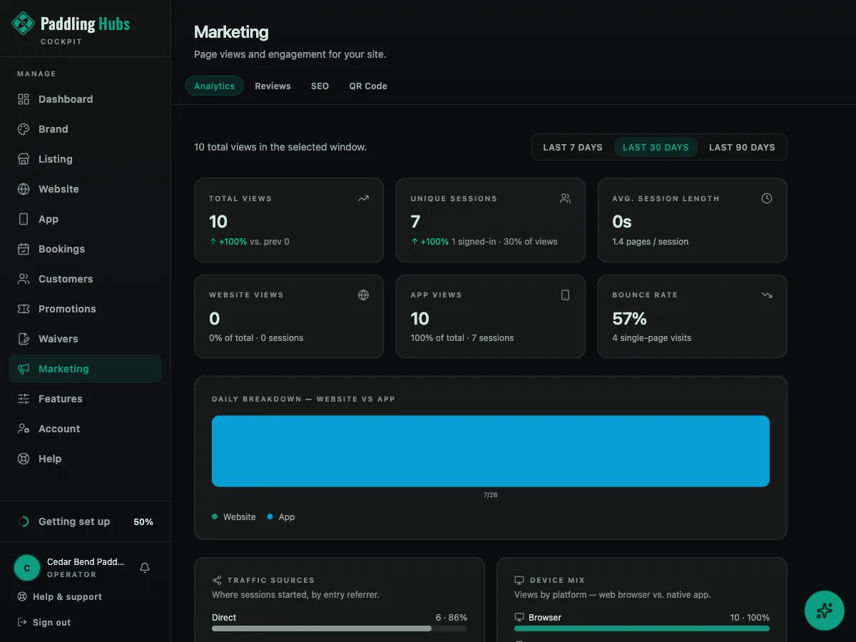
Outdoor businesses get the other half: one dashboard for their listing, website, bookings, waivers, customers and marketing, plus their own hub inside GoHubs. It is written in plain words for people who would rather be outside than at a desk, and their subscriptions are what keep the maps and tools free for everyone else.
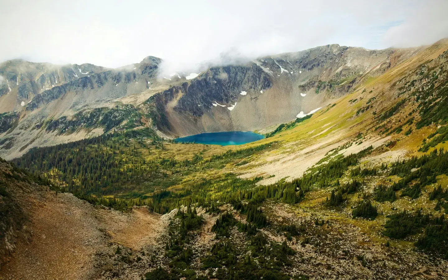
The shared platform powering fifteen outdoor community brands.

Get started
Put Paddling Hubs to work
The same toolkit that runs operators across the network is ready for yours. Start free. No card, no contract.