Routes
Routes worth the drive
Known paddle routes mapped stop by stop, plus routes shared by Paddling Hubs members. Open any of them in the free planner and make it your own.
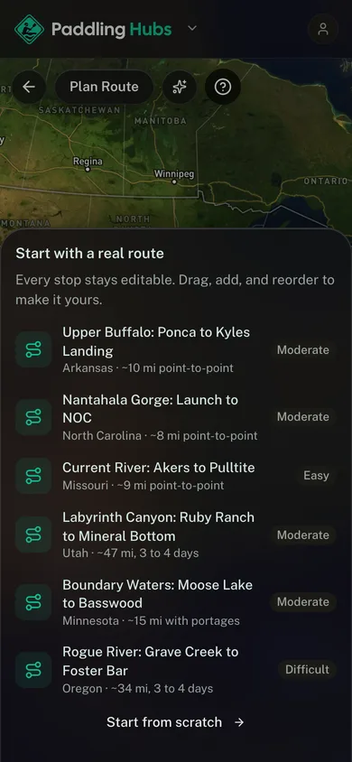
Upper Buffalo: Ponca to Kyles Landing
The classic upper Buffalo day float under the Ozark bluffs, past Steel Creek to Kyles Landing. Spring water only, since the upper river runs thin by summer.
Nantahala Gorge: Launch to NOC
America's introduction to whitewater: eight cold, continuous miles down the gorge, finishing over Nantahala Falls at the Outdoor Center.
Current River: Akers to Pulltite
A spring-fed Ozark float on water that runs clear and cold all summer, past Cave Spring to the Pulltite landing. The easiest good day on this list.
Labyrinth Canyon: Ruby Ranch to Mineral Bottom
Flatwater the whole way and still the most committing trip here: four days of red-rock canyon with no road out, no rapids, and no resupply.
Boundary Waters: Moose Lake to Basswood
The classic Ely entry, up the Moose chain through Prairie Portage into Basswood Lake on the Canadian border.
Rogue River: Grave Creek to Foster Bar
The Wild section of the Rogue, 34 miles through the coast range past Rainie Falls and Blossom Bar.
Suwannee River: White Springs to Suwannee River State Park
Tannin-black water under limestone banks, White Springs down past Holton Creek to the state park at the Withlacoochee.
Delaware Water Gap: Dingmans to Smithfield Beach
An easy two-day float on the middle Delaware, Dingmans Ferry down past Bushkill to Smithfield Beach.
Hells Bay Canoe Trail
The famous mangrove tunnel route in Everglades National Park, marked pole by pole from the trailhead out to the Hells Bay chickee.