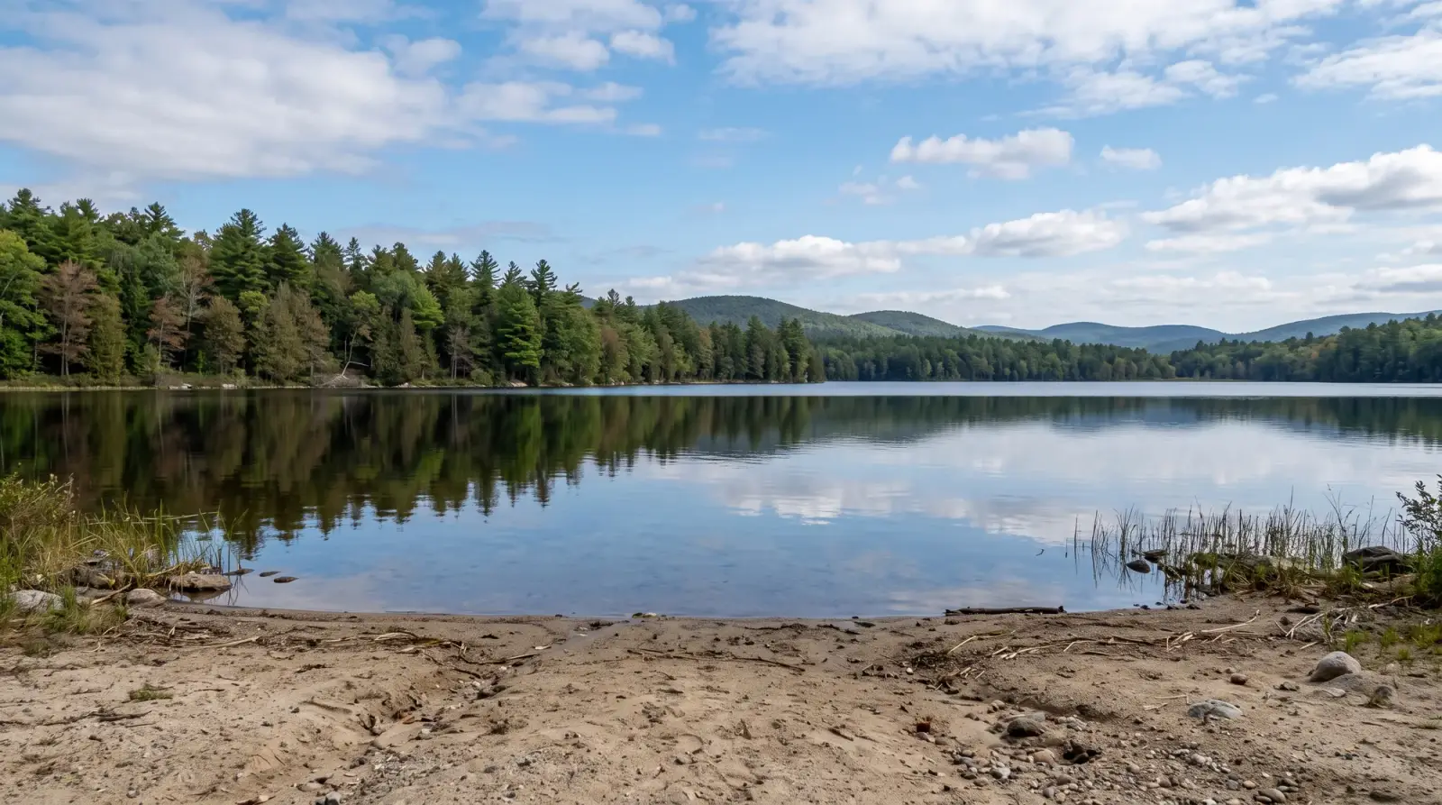
Kayaking · Colorado
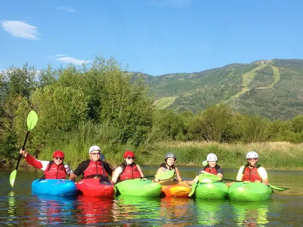
Kayaking in Colorado
2 outfitters across Colorado. Ratings, hours, contact details and a map for each, all in one place.
Mapped river miles
26,112 mi
2,118 named reaches
Rated 4.5+ on Google
2 of 2
Cities
2
Best season
Jun to Sep
Operators
Kayaking operators
Loads the full map of every listing on this page. We leave it off by default so the page opens fast on mobile data.
Rivers
Rivers and streams to paddle in Colorado
- Named rivers and streams mapped in Colorado
- 26,112 mi
- River reaches
- 2,118
- Reaches with a USGS flow gauge
- 268
Rivers with the most mapped miles
- Arkansas River424 mi
- South Platte River381 mi
- Beaver Creek376 mi
- Colorado River324 mi
- Spring Creek275 mi
Source: USGS National Hydrography Dataset. Miles count the named river reaches on our map, not every river in the state.
Flow gauges: U.S. Geological Survey. Flood stages and forecasts: NOAA National Weather Service.
Resources
More to explore in Kayaking
Hand-picked videos and free guides from the community to help you plan your next trip.
Videos worth watching
Hand-picked clips, sorted by what you do.
Kayaking | How to Paddle a Kayak || REI
REI
Kayaking | How to Get in Your Kayak || REI
REI
Kayaking on Lakes – Everything You Need to Know
PaddleTV
Kayaking on Rivers | Paddling for Beginners
PaddleTV
Top 10 Kayaking Tips to Level Up Your Paddling
PaddleTV
How to Train for Kayaking || REI
REI
Guides worth reading
Trip briefs, prep checklists, and how-tos. Free to read.


Free tools