Arkansas
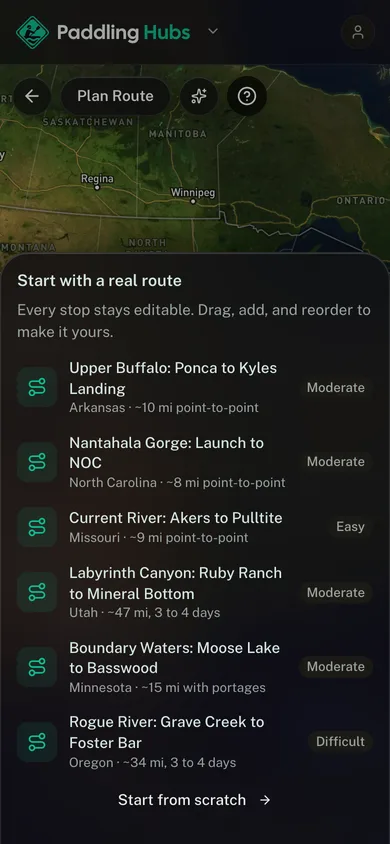
Upper Buffalo: Ponca to Kyles Landing
About this paddle route
The Buffalo was the first National River in the country, and the upper section between Ponca and Kyles Landing runs beneath the tallest bluffs on it. Big Bluff, rising over 500 feet above the water, is the highest sheer face between the Rockies and the Appalachians. This stretch is spring water. By midsummer the upper river is usually too low to float, and parties move downstream to the middle and lower sections instead.
The classic upper Buffalo day float under the Ozark bluffs, past Steel Creek to Kyles Landing. Spring water only, since the upper river runs thin by summer.
Highlights
What earns the trip
- Big Bluff, the tallest river bluff between the Rockies and the Appalachians
- Hemmed-in Hollow, the tallest waterfall between those same ranges, is a hike off the river
- Elk are frequently visible in the Boxley valley just upstream
- The first federally designated National River in the United States
Stops
- 1
Ponca Low-Water Bridge
The standard upper put-in, with the gauge nearby.
- 2
Steel Creek
Campground and river access under Roark Bluff.
- 3
Kyles Landing
Take-out at the bottom of a steep gravel access road.
When to go
Best time to go
March through early June, while the upper river holds water.
Planner estimate for the mapped line: 43 min
Before you go
Know before you go
- Check the Ponca gauge before you drive. Below about 3 feet this section is a walk, not a float.
- At high water the upper Buffalo becomes genuinely dangerous, with strainers and pushy current.
- Kyles Landing is reached by a steep gravel road that is hard on a low vehicle or a long trailer.
More paddle routes
Browse all routes