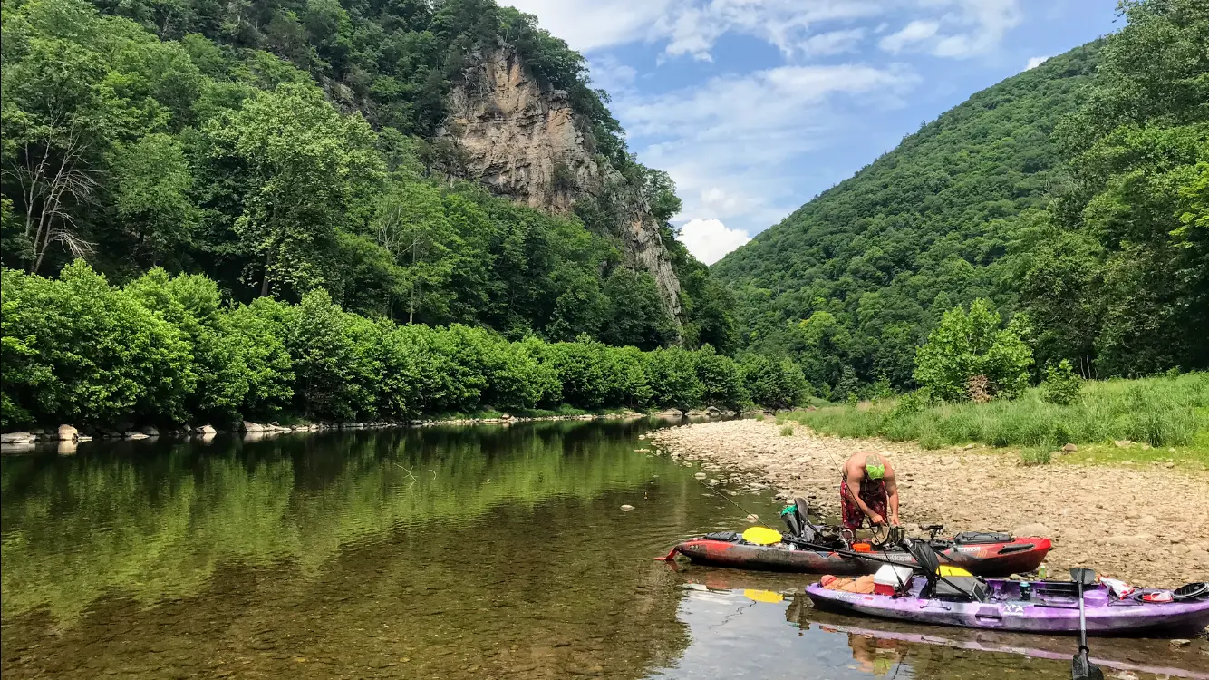
Breezewood Adventures
About
Gallery
Outfitter details
- Disciplines
- Kayaking, Canoeing
Rivers & creeks near this outfitter
Loads the full map of the rivers near this listing. We leave it off by default so the page opens fast on mobile data.
Paddler reviews
What paddlers are saying
- JJason butcher· a month ago
Booked with Breezewood Adventure’s for a smallmouth trip on the south branch. Could not have asked for a more perfect guide or experience. Kellan was top notch from the beginning, making sure we had all the info we needed, then the day of making sure we were taken care of and ready. Took us out and put us on some great fish, even though river conditions were not 100%. This will be a memory that me and my friend have forever thanks to Kellan. Would give 6 stars if I could!!!!
- RRobert Summy· a month ago
These guys are the best! They enjoy what they do and are good at it. Very friendly. Our company spent a day on a very relaxing kayak trip. Honest and trustworthy company! Wish you all the best.
- MMaria Celeste· 3 months ago
Getting on the river is a breeze with this team. A+ professionals and top notch gear. You bring your courage, they lay the rules, and Lady Potomac will spit you, drift you, and test yon on your river appreciation. Camp on cozy lake sites and walk across 220 to get down to the river. Out of this world star gazing!
- Aamelia nelson· 2 months ago
There is honestly is no better way than to spend your day out on the water. Breezewood Adventures makes it super easy to plan everything out. We have used them on many occasions and it’s always a great time.
Reviews powered by Google. Content belongs to its respective authors.
Typical flow by month
1928 to 2026
The water at Breezewood Adventures typically runs highest in March, at a median 267 cfs, and lowest in September, at 28 cfs. The highest flow on record for any single day is 28,000 cfs, in 1986.
| Month | Typical (cfs) | Usual range (cfs) | Relative level |
|---|---|---|---|
| January | 136 | 76 to 267 | |
| February | 179 | 93 to 363 | |
| March | 267 | 162 to 486 | |
| April | 229 | 130 to 448 | |
| May | 194 | 106 to 373 | |
| June | 78 | 54 to 153 | |
| July | 44 | 30 to 78 | |
| August | 35 | 20 to 76 | |
| September | 28 | 19 to 58 | |
| October | 33 | 22 to 84 | |
| November | 56 | 30 to 132 | |
| December | 99 | 47 to 221 |
Typical is the median of each month’s daily median values, and the usual range runs from the median 25th to the median 75th percentile, across about 94 years of record. Statistics published by the US Geological Survey for S F South Branch Potomac River near Moorefield, WV (site 01608000). Conditions on any given day can fall well outside the usual range. Check the current reading before you go.
Current conditions
High today
63°F
Wind
7 kt
Gusts 13 kt
Rain chance
70%
Week ahead
Forecast from Open-Meteo global models (NOAA & ECMWF).
More outfitters
Also nearby
Other ways to get outside within about an hour of here.

Free tools
Your free outdoor toolkit

Everything Map
Listings, trails, spots, clubs and public land on a single full-screen map. Switch layers on and off, then tap any point for the details.
Open Everything MapRiver Explorer
Explore named rivers from the USGS hydrography dataset. Filter by water type or whitewater class.
Open River ExplorerRoute Planner
Drop stops on a map and watch distance and drive time add up. Export a GPX or share the link.
Open Route PlannerPaddling Clubs
Browse local clubs with meeting info and how to join, or start your own for free.
Open Paddling ClubsLive Conditions
Real-time conditions spot by spot, pulled from public weather feeds, before you commit to the drive.
Open Live ConditionsWebcams
Live camera feeds from popular spots. Eyeball the crowd, the surf, or the snow before you go.
Open Webcams


