Around here
Around Sand Run
Data Source: Recreation.gov · Source: USGS GNIS · Public land: USGS PAD-US
About this river
Sand Run is a 2.7 mile stream near Scenic River Canoe Excursions in Ohio. Streamflow is measured at the USGS gauge Sand Run at Thornwilde DR at Francisville, KY (site 03260270). The National Hydrography Dataset places it at stream order 4. Reach geometry comes from the USGS National Hydrography Dataset.
Made to print
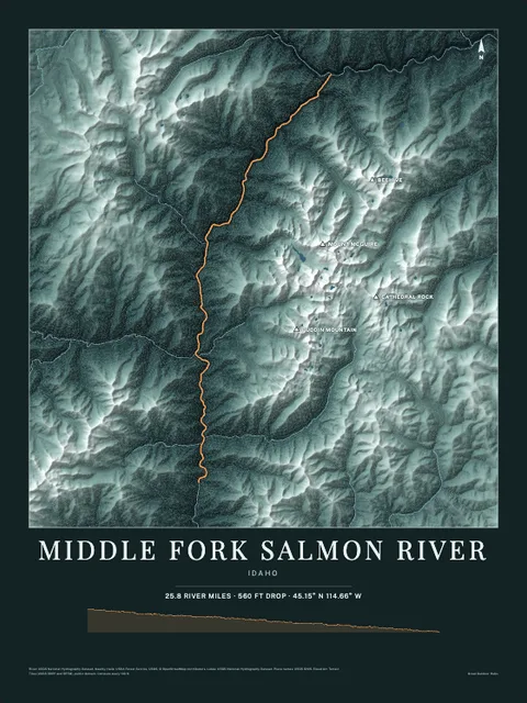
Put Sand Run on your wall
This river section as an art print, drawn over the real terrain with its miles, plus the trails, roads and peaks around it. Pick the colors and the size, and see the finished print before you buy. From $39, shipping included.
Embed this gauge on your site
Paste this snippet anywhere, an outfitter page, a club site, a trip report, to show Sand Run's live streamflow, water level and 7-day trend. It reads the USGS gauge directly, updates itself, and links back here.
See every free widget you can put on your site, including live conditions and a 7 day forecast.