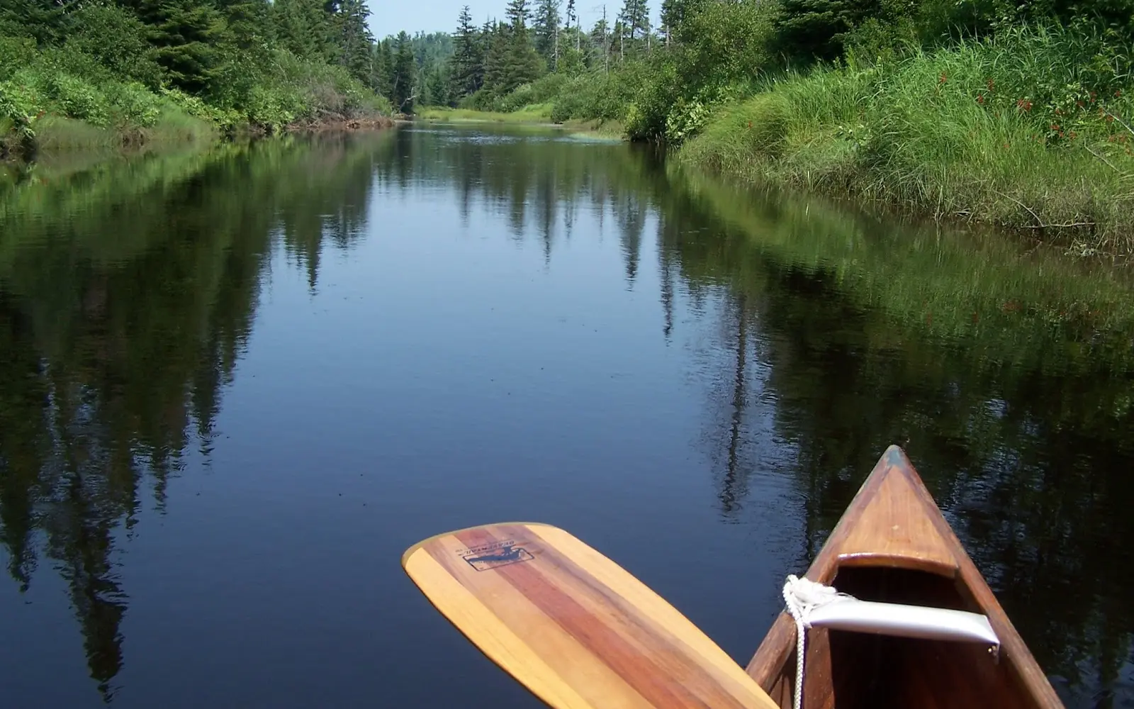
St. Regis Canoe Outfitters
St. Regis Canoe Outfitters is a kayak & canoe livery in Saranac Lake.
Gallery
Outfitter details
- Disciplines
- Kayaking, Canoeing
Rivers & creeks near this outfitter
Loads the full map of the rivers near this listing. We leave it off by default so the page opens fast on mobile data.
Paddler reviews
What paddlers are saying
- JJohn Haverlick· a month ago
What a top notch team we had the pleasure to meet and help guide us through our rental process. They are all without exception very friendly, personable and highly knowledgeable staff. They were extremely attentive, informative and patient in going over the details to insure we had a successful trip. We have rented from St Regis in the past and they only seem to be getting better at what they do. My family is deeply appreciative of their thoroughness, sensitivity and care. Kudos to an amazing team!
- JJohn Wray· a month ago
Outstanding experience working with the St. Regis Canoe Outfitters team recently. My friends and I started our planning a few months before our trip, and from that moment until we had returned our rentals we were extremely impressed with the professionalism and care of this group. The team was quick to communicate, helpful with instruction on how to load the canoes, showing us where to navigate, and so much more. We can't wait to return for another trip and will definitely be renting through SRCO again! And shoutout to Mayah who was super helpful through the whole process!
- CClay Heath· 3 weeks ago
My family and I made last minute (see: day of) plans for a paddle trip and the team at St. Regis was more than accommodating. The team made sure we were properly fit with our PFDs, made sure that we knew the route ( which they knew like the back of their hands) and we extremely friendly. Transportation was also provided back to the shop and along the way got some great recommendations for our trip back to the area. We will certainly be using St. Regis on our next venture up here. Thank you for making this a great experience!
- AAdam Stoumen· a month ago
The staff was super encouraging and helpful in planning my group trip. I coordinated with them a lot to rent gear and talk routes. They rocked when it came to game time and packing up the cars. Their rental gear was good quality, except the coolers were worn. Only drawback was they charged me an admin fee ($30/boat) when I cancelled boat reservations, two weeks out. I thought that was a bit steep and unnecessary. Otherwise would 10/10 recommend.
Reviews powered by Google. Content belongs to its respective authors.
Typical flow by month
2023 to 2026
The water at St. Regis Canoe Outfitters typically runs highest in April, at a median 6.8 cfs, and lowest in September, at 1.3 cfs. The highest flow on record for any single day is 50 cfs, in 2024.
| Month | Typical (cfs) | Usual range (cfs) | Relative level |
|---|---|---|---|
| January | 2.1 | 1.6 to 2.8 | |
| February | 1.6 | 1.4 to 1.9 | |
| March | 2.0 | 0.9 to 5.8 | |
| April | 6.8 | 2.9 to 15 | |
| May | 4.8 | 3.9 to 7.0 | |
| June | 2.6 | 1.6 to 4.0 | |
| July | 2.3 | 0.7 to 3.2 | |
| August | 2.2 | 0.5 to 2.7 | |
| September | 1.3 | 0.3 to 1.6 | |
| October | 2.4 | 1.3 to 4.6 | |
| November | 2.9 | 2.0 to 5.0 | |
| December | 2.9 | 1.7 to 5.3 |
Typical is the median of each month’s daily median values, and the usual range runs from the median 25th to the median 75th percentile, across about 3 years of record. Statistics published by the US Geological Survey for White Brook near Wilmington NY (site 04274185). Conditions on any given day can fall well outside the usual range. Check the current reading before you go.
Current conditions
Streamflow
0.0 cfs
Normal (25th)
Water level
4.49 ft
Water
47°F
High today
57°F
Wind
7 kt
Gusts 10 kt
Rain chance
0%
Week ahead
Forecast from Open-Meteo global models (NOAA & ECMWF).
More outfitters in New York

Also nearby
Other ways to get outside within about an hour of here.
Free tools
Your free outdoor toolkit

Everything Map
Listings, trails, spots, clubs and public land on a single full-screen map. Switch layers on and off, then tap any point for the details.
Open Everything MapRiver Explorer
Explore named rivers from the USGS hydrography dataset. Filter by water type or whitewater class.
Open River ExplorerRoute Planner
Drop stops on a map and watch distance and drive time add up. Export a GPX or share the link.
Open Route PlannerPaddling Clubs
Browse local clubs with meeting info and how to join, or start your own for free.
Open Paddling ClubsLive Conditions
Real-time conditions spot by spot, pulled from public weather feeds, before you commit to the drive.
Open Live ConditionsWebcams
Live camera feeds from popular spots. Eyeball the crowd, the surf, or the snow before you go.
Open Webcams


