Skip to content

The River's Path Canoeing

Rockwell Ditch near The River's Path Canoeing

Canal2.0 mi
Loading map…

About this river

Rockwell Ditch is a 2.0 mile canal near The River's Path Canoeing in Colorado. The mapped line runs from 40.2935, -105.0616 to 40.2948, -105.0276. The National Hydrography Dataset places it at stream order 7. Reach geometry comes from the USGS National Hydrography Dataset.

In your pocket

Take every launch with you.

Free, no account needed. Put-in maps, named river reaches, and your trip log in your pocket.

  • Every launch in your pocket

  • Named reaches with class ratings on the map

  • Log your paddles in one timeline

  • Find the next put-in wherever you roam

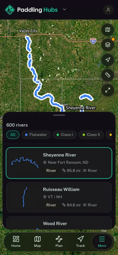
A river reach selected out of the mapped river network in the Paddling Hubs app

For operators

Run your paddling business?
Launch your branded surface.

Get your own branded surface in the Paddling Hubs app and a directory listing in minutes. Bookings, digital waivers, and your whole operation live in one cockpit.
