Around here
Around Otay River
Loading map…
- Tijuana River National Estuarine Research ReserveRecreation area1.5 mi (opens in a new tab)
- San Diego Bay National Wildlife RefugeRecreation area3.6 mi (opens in a new tab)
- Cabrillo National MonumentRecreation area9.8 mi (opens in a new tab)
- Visitor Center and View BuildingVisitor center9.8 mi (opens in a new tab)
Data Source: Recreation.gov · Source: USGS GNIS · Public land: USGS PAD-US
About this river
Otay River is a 15.0 mile river near West Coast Paddle Board Rentals in California. The National Hydrography Dataset places it at stream order 6. Reach geometry comes from the USGS National Hydrography Dataset.
Boat access nearby
4 mapped launches sit in the mapped area of Otay River, all of them public access. Ramp data comes from the USGS national boat-ramp inventory.
- Lower Otay LakeLower Otay LakePublic
- Otay Lake Recreation AreaLower Otay LakePublic
- Bayfront Park - Chula VistaSan Diego BayPublic
- Chula VistaSan Diego BayPublic
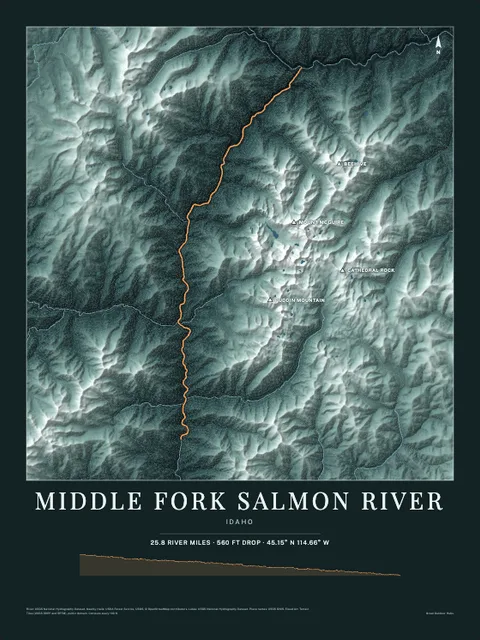
Made to print
Put Otay River on your wall
This river section as an art print, drawn over the real terrain with its miles, plus the trails, roads and peaks around it. Pick the colors and the size, and see the finished print before you buy. From $39, shipping included.
Make the posterOrder by December 8 for Christmas delivery.