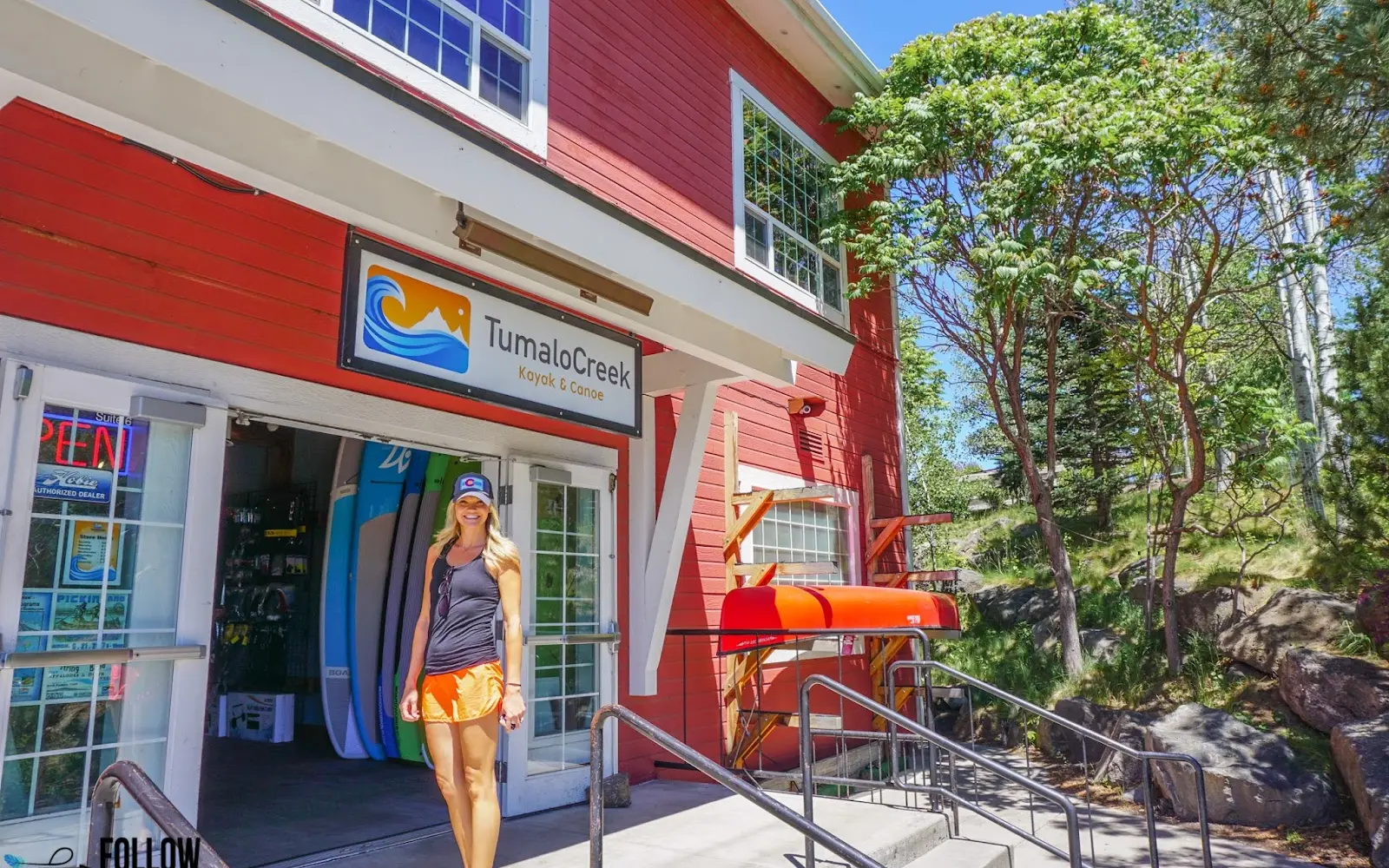
Tumalo Creek Kayak & Canoe
About
Gallery
Outfitter details
- Disciplines
- Kayaking, Canoeing, Lessons
Paddler reviews
Rating from Google.
Around here
Around Tumalo Creek Kayak & Canoe
- The CampRV park · ★ 4.70.9 mi (opens in a new tab)
- Scandia RV ParkRV park · ★ 3.61.4 mi (opens in a new tab)
- Bend RV ResortRV park · ★ 4.82.3 mi (opens in a new tab)
- Sun Outdoors BendRV park · ★ 4.42.6 mi (opens in a new tab)
- Tumalo State Park CampgroundRV park · ★ 4.65.5 mi (opens in a new tab)
- Three Creeks Lake CampgroundCampground · 11 sites15.8 mi
- Deschutes National ForestRecreation area0.6 mi (opens in a new tab)
- Oregon Badlands WildernessRecreation area15.3 mi (opens in a new tab)
- Cascade View Trail SystemRecreation area16.4 mi (opens in a new tab)
- Millican Valley OHV Trail SystemRecreation area20.4 mi (opens in a new tab)
- Middle Deschutes Wild and Scenic RiverRecreation area21.9 mi (opens in a new tab)
- Crooked Wild and Scenic RiverRecreation area24.8 mi (opens in a new tab)
Before you go
Data Source: Recreation.gov · Source: USGS GNIS · Public land: USGS PAD-US
Typical flow by month
1924 to 1991
The water at Tumalo Creek Kayak & Canoe typically runs highest in July, at a median 2,200 cfs, and lowest in November, at 846 cfs. The highest flow on record for any single day is 3,410 cfs, in 1965.
Show the numbers
| Month | Typical (cfs) | Usual range (cfs) |
|---|---|---|
| January | 892 | 615 to 1,080 |
| February | 920 | 692 to 1,200 |
| March | 1,030 | 704 to 1,240 |
| April | 1,275 | 1,095 to 1,530 |
| May | 1,810 | 1,420 to 2,130 |
| June | 2,010 | 1,495 to 2,360 |
| July | 2,200 | 1,560 to 2,530 |
| August | 2,000 | 1,560 to 2,300 |
| September | 1,725 | 1,330 to 1,985 |
| October | 1,080 | 952 to 1,360 |
| November | 846 | 594 to 1,000 |
| December | 857 | 622 to 1,060 |
Typical is the median of each month’s daily median values, and the usual range runs from the median 25th to the median 75th percentile, across about 67 years of record. Statistics published by the US Geological Survey for Deschutes R at Benham Falls near Bend, OR (site 14064500). Conditions on any given day can fall well outside the usual range. Check the current reading before you go.
Current conditions
Today · Sat
65Maybe/ 100
Wind 14 kt · Gusts to 26 kt
CloudyHigh 68°F, low 39°FRain 2%Wind 14 kt, gusts 26
Air quality
30 Good
Bend - Pump Station monitor, 2 km
Forecast from Open-Meteo global models (NOAA & ECMWF). Air quality: Oregon Dept. of Environmental Quality via EPA AirNow. Preliminary data, not verified.
More outfitters in Oregon
Also nearby
Other ways to get outside within about an hour of here.
Free tools