Wai Mauna Paddleboard Rentals - Driggs
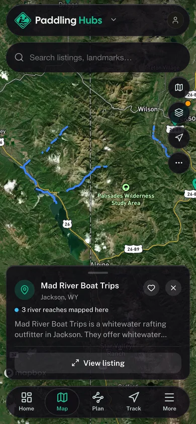
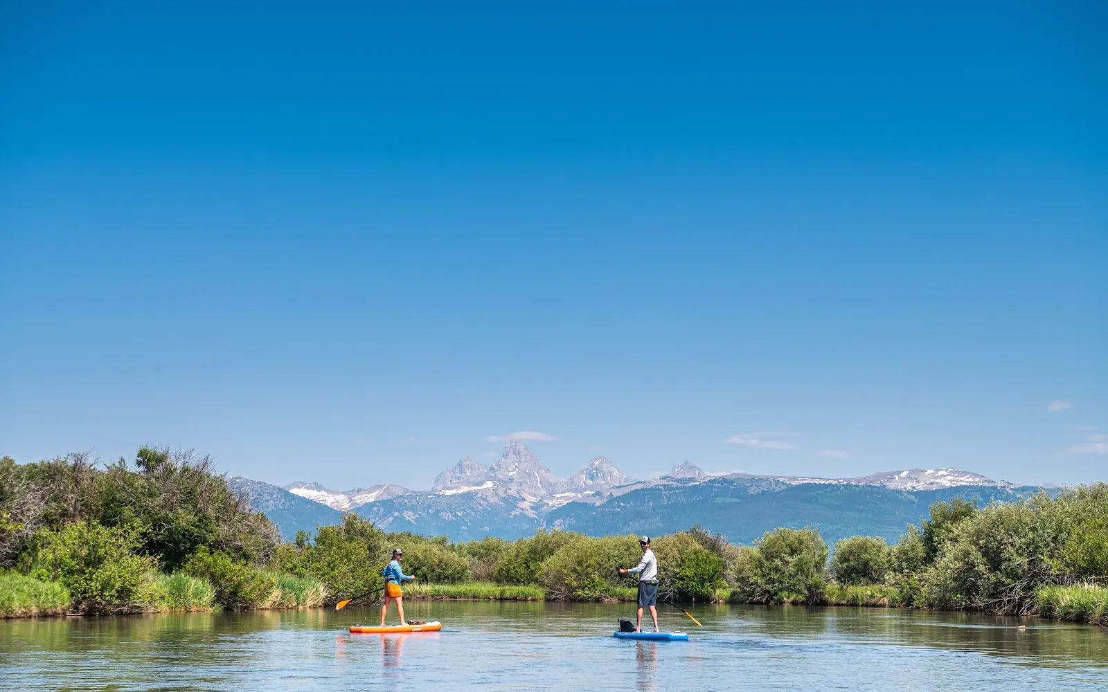
Wai Mauna Paddleboard Rentals - Driggs is an SUP school and rentals in Driggs. Customers can also rent equipment for 24 hours without a shuttle.
Gallery
Outfitter details
- Disciplines
- Paddleboarding (SUP)
Paddler reviews
Rating from Google.
Around here
Around Wai Mauna Paddleboard Rentals - Driggs
- Jenny Lake Visitor CenterVisitor center19.5 mi (opens in a new tab)
- Craig Thomas Discovery & Visitor CenterVisitor center20.2 mi (opens in a new tab)
- Grand Teton National ParkRecreation area21.3 mi (opens in a new tab)
- National Elk Refuge & Greater Yellowstone Visitor CenterVisitor center24 mi (opens in a new tab)
- Bridger-Teton National ForestRecreation area24.1 mi (opens in a new tab)
- National Elk RefugeRecreation area25 mi (opens in a new tab)
Data Source: Recreation.gov · Source: USGS GNIS · Public land: USGS PAD-US
Typical flow by month
1962 to 2026
The water at Wai Mauna Paddleboard Rentals - Driggs typically runs highest in June, at a median 879 cfs, and lowest in January, at 192 cfs. The highest flow on record for any single day is 2,960 cfs, in 1997.
Show the numbers
| Month | Typical (cfs) | Usual range (cfs) |
|---|---|---|
| January | 192 | 160 to 222 |
| February | 200 | 166 to 227 |
| March | 234 | 200 to 293 |
| April | 326 | 244 to 423 |
| May | 444 | 332 to 584 |
| June | 879 | 625 to 1,290 |
| July | 560 | 368 to 883 |
| August | 349 | 245 to 476 |
| September | 301 | 212 to 389 |
| October | 286 | 212 to 347 |
| November | 260 | 202 to 307 |
| December | 210 | 170 to 247 |
Typical is the median of each month’s daily median values, and the usual range runs from the median 25th to the median 75th percentile, across about 64 years of record. Statistics published by the US Geological Survey for Teton River above South Leigh Creek near Driggs ID (site 13052200). Conditions on any given day can fall well outside the usual range. Check the current reading before you go.
Current conditions
Today · Sat
68Maybe/ 100
High 41°F
CloudyHigh 41°F, low 27°FRain 1%Wind 5 kt, gusts 5
Streamflow
182 cfs
Below normal (12th)
Water level
1.87 ft
Air quality
23 Good
Jackson SLAMS monitor, 39 km
National Weather ServiceBelow flood stage
Flood stage 4.2 ft. NWS reads 1.86 ft here.
NWS forecast: 1.86 ft by Sat 11 AM, below flood stage.
Forecast from Open-Meteo global models (NOAA & ECMWF). Flood stages and forecasts: NOAA National Weather Service. Air quality: Wyoming Department of Environmental Quality via EPA AirNow. Preliminary data, not verified.
More outfitters
Also nearby
Other ways to get outside within about an hour of here.
Free tools