Poynt Break
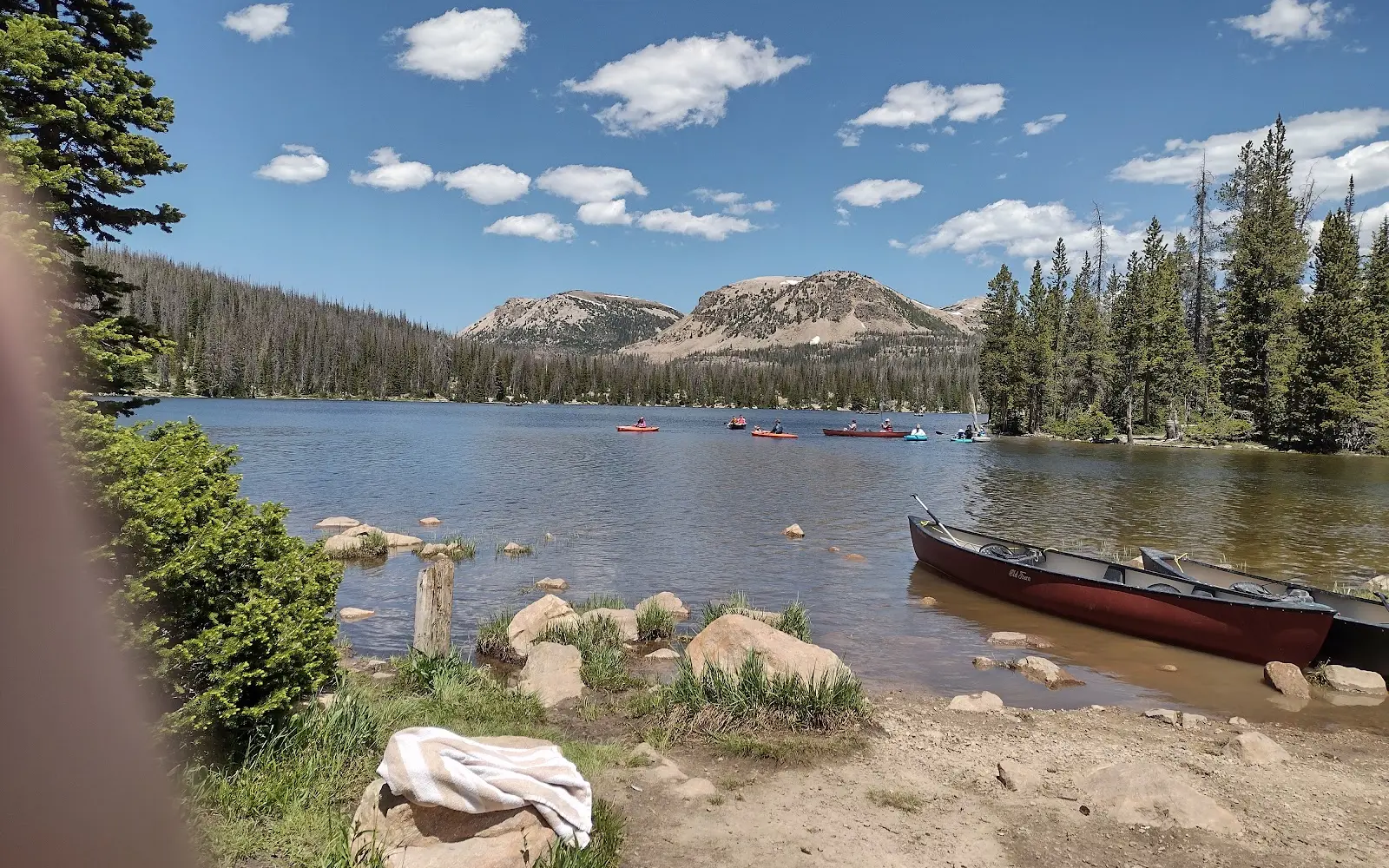
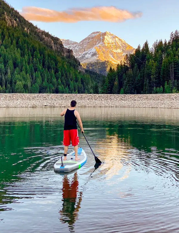
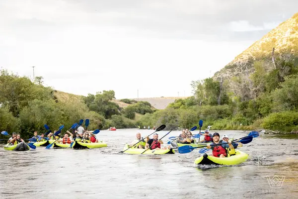
Poynt Break is a kayak & canoe livery in Eagle Mountain. They rent canoes, inflatable kayaks, and stand-up paddleboards.
Gallery
Paddler reviews
Rating from Google.
Around here
Around Poynt Break
- Camp Floyd State Park MuseumRecreation area6.9 mi (opens in a new tab)
- Flight Park State Recreation AreaRecreation area11.4 mi (opens in a new tab)
- Pony Express Back Country Byway (BCB)Recreation area11.5 mi (opens in a new tab)
- Utah Lake State ParkRecreation area14.2 mi (opens in a new tab)
- Timpanogos Cave National MonumentRecreation area17.5 mi (opens in a new tab)
- Timpanogos Cave Visitor CenterVisitor center17.8 mi (opens in a new tab)
Data Source: Recreation.gov · Source: USGS GNIS · Public land: USGS PAD-US
Typical flow by month
1966 to 2026
The water at Poynt Break typically runs highest in June, at a median 8.1 cfs, and lowest in February, at 0.3 cfs. The highest flow on record for any single day is 85 cfs, in 1973.
Show the numbers
| Month | Typical (cfs) | Usual range (cfs) |
|---|---|---|
| January | 0.3 | 0.1 to 0.7 |
| February | 0.3 | 0.1 to 0.7 |
| March | 0.3 | 0.1 to 0.8 |
| April | 0.6 | 0.1 to 3.8 |
| May | 7.5 | 3.7 to 17 |
| June | 8.1 | 3.0 to 16 |
| July | 2.7 | 1.1 to 4.7 |
| August | 1.2 | 0.6 to 2.8 |
| September | 0.8 | 0.3 to 1.8 |
| October | 0.6 | 0.2 to 1.6 |
| November | 0.5 | 0.2 to 1.2 |
| December | 0.4 | 0.1 to 0.8 |
Typical is the median of each month’s daily median values, and the usual range runs from the median 25th to the median 75th percentile, across about 50 years of record. Statistics published by the US Geological Survey for West Canyon Creek near Cedar Fort, UT (site 10166430). Conditions on any given day can fall well outside the usual range. Check the current reading before you go.
Current conditions
Today · Mon
91Go/ 100
CloudyHigh 60°F, low 38°FRain 0%Wind 6 kt, gusts 8
Streamflow
0.0 cfs
Much below normal (5th)
Water level
2.17 ft
Air quality
24 Good
Herriman #3 monitor, 21 km
National Weather ServiceBelow flood stage
Flood stage 5.4 ft. NWS reads 2.17 ft here.
NWS forecast: 2.24 ft by Tue 5 AM, below flood stage.
Forecast from Open-Meteo global models (NOAA & ECMWF). Flood stages and forecasts: NOAA National Weather Service. Air quality: Utah Department of Environmental Quality via EPA AirNow. Preliminary data, not verified. Wildfire: National Interagency Fire Center.
More outfitters in Utah
Also nearby
Other ways to get outside within about an hour of here.

Free tools