North Shore Kayak & E-Bike Adventures and Flip-Flop Emporium
About
Gallery
Outfitter details
- Disciplines
- Kayaking, Sea Kayaking, Guided Tours
Rivers & creeks near this outfitter
Loads the full map of the rivers near this listing. We leave it off by default so the page opens fast on mobile data.
Paddler reviews
What paddlers are saying
- DDamion Grasso· a month ago
My boys and I had an incredible two days exploring the North Shore on e-bikes from North Shore Adventures. The owner is a genuinely down-to-earth guy with a real passion for the outdoors, and he and his staff went above and beyond to make sure we had everything we needed to enjoy the experience safely and confidently. Their responsiveness, flexibility, and customer service were outstanding. It was the perfect way to spend time together, take a break at the beach, and discover the beauty of the North Shore. Highly recommended!
- LLinda Donnelly· a month ago
We had a wonderful guided trip through the Essex River Marsh on Friday late afternoon/early evening. Clay was flexible, informative, and fun to hang out with as we paddled around. We loved stopping at Choate Island and walking around. Clay filled us in on the history and ecology of the area. It was relaxing and interesting--perfection. I highly recommend signing up for a guided trip with North Shore Kayak & E-Bike Adventures!
- JJim Pidel· a year ago
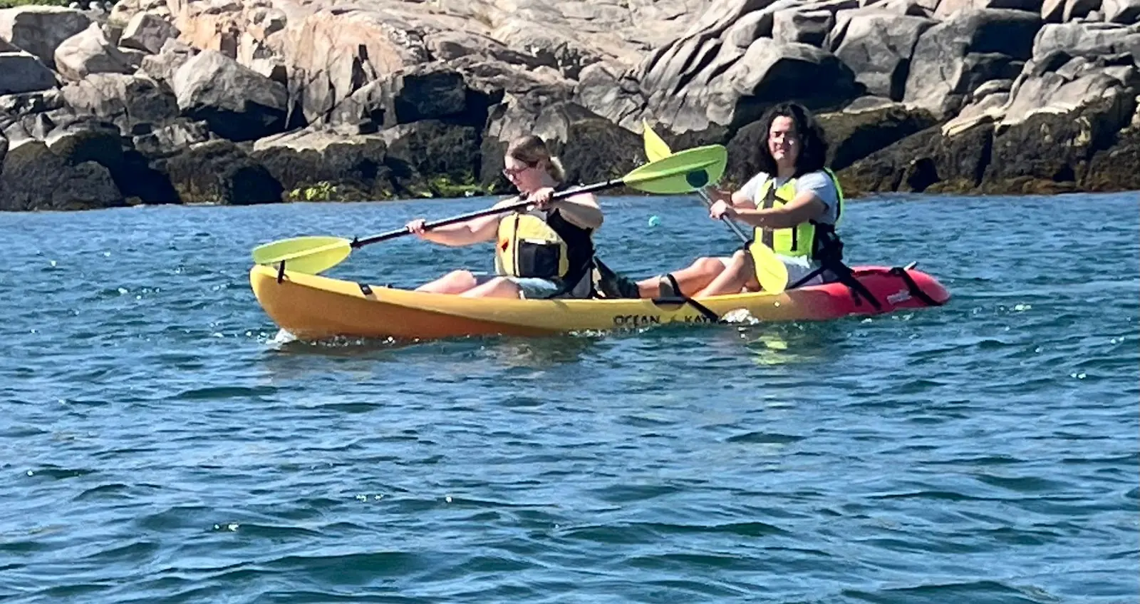
North Shore kayak was one of the best parts of our small vacation. With little to no experience, we were able to rent two tandem kayaks and have a really great time. The owners of North Shore kayak are laid-back, efficient, and make sure we felt safe and comfortable with good instructions. Safety measures. The price was very affordable. Totally a five star organization.
- SSarah Calatayud· 2 months ago
Clay and his team could not have been more wonderful. My three friends and I rented four single person kayaks last Sunday. We were given detailed guidance on how to access the Straightsmouth Island boat/kayak launch where we stored our kayaks and walked the path to the lighthouse. We learned a ton from Jeff, the volunteer for the week, about the history of the lighthouses, and we took some excellent pictures of us inside the spiral staircase and on the top of the lighthouse. Then we kayaked back to Tuna Wharf (despite some crazy wind!) and headed across the street to the Hideaway. We had the best time, the best day, and we could not recommend North Shore Kayak & E-Bike Adventures more highly.
Reviews powered by Google. Content belongs to its respective authors.
Typical flow by month
1930 to 2026
The water at North Shore Kayak & E-Bike Adventures and Flip-Flop Emporium typically runs highest in April, at a median 350 cfs, and lowest in September, at 16 cfs. The highest flow on record for any single day is 4,550 cfs, in 2006.
| Month | Typical (cfs) | Usual range (cfs) | Relative level |
|---|---|---|---|
| January | 165 | 91 to 278 | |
| February | 186 | 111 to 296 | |
| March | 343 | 244 to 570 | |
| April | 350 | 225 to 513 | |
| May | 189 | 139 to 302 | |
| June | 109 | 51 to 177 | |
| July | 33 | 14 to 80 | |
| August | 21 | 7.1 to 54 | |
| September | 16 | 6.2 to 38 | |
| October | 30 | 13 to 96 | |
| November | 95 | 42 to 187 | |
| December | 141 | 62 to 283 |
Typical is the median of each month’s daily median values, and the usual range runs from the median 25th to the median 75th percentile, across about 96 years of record. Statistics published by the US Geological Survey for Ipswich River near Ipswich, MA (site 01102000). Conditions on any given day can fall well outside the usual range. Check the current reading before you go.
Current conditions
Streamflow
3.2 cfs
Below normal (13th)
Water level
2.42 ft
High today
60°F
Wind
18 kt
Gusts 25 kt
Rain chance
4%
Week ahead
Forecast from Open-Meteo global models (NOAA & ECMWF).
More outfitters
Also nearby
Other ways to get outside within about an hour of here.
Free tools
Your free outdoor toolkit

Everything Map
Listings, trails, spots, clubs and public land on a single full-screen map. Switch layers on and off, then tap any point for the details.
Open Everything MapRiver Explorer
Explore named rivers from the USGS hydrography dataset. Filter by water type or whitewater class.
Open River ExplorerRoute Planner
Drop stops on a map and watch distance and drive time add up. Export a GPX or share the link.
Open Route PlannerPaddling Clubs
Browse local clubs with meeting info and how to join, or start your own for free.
Open Paddling ClubsLive Conditions
Real-time conditions spot by spot, pulled from public weather feeds, before you commit to the drive.
Open Live ConditionsWebcams
Live camera feeds from popular spots. Eyeball the crowd, the surf, or the snow before you go.
Open Webcams


