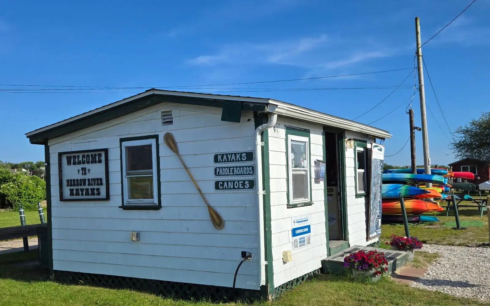
Narrow River Kayaks
About
Gallery
Outfitter details
- Disciplines
- Kayaking, Canoeing
Rivers & creeks near this outfitter
Loads the full map of the rivers near this listing. We leave it off by default so the page opens fast on mobile data.
Paddler reviews
What paddlers are saying
- AAndrea Gonzalez· a month ago
I reserved four kayaks for a 4-Hour time slot yesterday. Booking was easy- the communication was excellent. The operators were knowledgeable and attentive. Parking was easy- overall a beautiful experience. Give this place five stars 💖
- AAdilia Bonilla· a year ago
Okay, we struggled with canoeing. But these guys were really helpful. They provided directions and instructions that were fairly easy to follow. When we had some difficulty in the first few minutes and decided to switch spots, the one guy brought a kayak out to make sure we made it. We were much more successful after. They do have changing areas and porta potties, but I'd come prepared and leave to find a bathroom anyways. They even have a little spot to sit and picnic. I should have taken more photos, but the water was low during our ride and we could see and reach shells. Which was awesome. Keep in mind to stay off the major islands! It appears to be a bird sanctuary.
- DDaniel Connors· a month ago
Small waterfront kayak rental shop. Great location on Narrow River. Friendly and helpful staff. End of season, keep an eye out for used kayak / paddle board / canoe sales.
- RRichard Yovan· 2 months ago
Very professional and kind staff! Clean restrooms, great kayaks and paddle boards to rent. We went to the nature preserve this time and will definitely be returning for the beach next time!
Reviews powered by Google. Content belongs to its respective authors.
Typical flow by month
1959 to 2026
The water at Narrow River Kayaks typically runs highest in April, at a median 34 cfs, and lowest in September, at 6.5 cfs. The highest flow on record for any single day is 631 cfs, in 2010.
| Month | Typical (cfs) | Usual range (cfs) | Relative level |
|---|---|---|---|
| January | 23 | 15 to 34 | |
| February | 26 | 17 to 36 | |
| March | 31 | 23 to 43 | |
| April | 34 | 24 to 45 | |
| May | 25 | 18 to 33 | |
| June | 18 | 12 to 25 | |
| July | 9.1 | 5.7 to 17 | |
| August | 8.4 | 4.5 to 13 | |
| September | 6.5 | 3.5 to 11 | |
| October | 6.5 | 4.3 to 12 | |
| November | 10 | 6.0 to 19 | |
| December | 20 | 13 to 35 |
Typical is the median of each month’s daily median values, and the usual range runs from the median 25th to the median 75th percentile, across about 54 years of record. Statistics published by the US Geological Survey for Chipuxet River at West Kingston, RI (site 01117350). Conditions on any given day can fall well outside the usual range. Check the current reading before you go.
Current conditions
Streamflow
22 cfs
Much above normal (93rd)
Water level
5.14 ft
High today
64°F
Wind
12 kt
Gusts 23 kt
Rain chance
9%
Week ahead
Forecast from Open-Meteo global models (NOAA & ECMWF).
More outfitters in Rhode Island


Also nearby
Other ways to get outside within about an hour of here.

Free tools
Your free outdoor toolkit

Everything Map
Listings, trails, spots, clubs and public land on a single full-screen map. Switch layers on and off, then tap any point for the details.
Open Everything MapRiver Explorer
Explore named rivers from the USGS hydrography dataset. Filter by water type or whitewater class.
Open River ExplorerRoute Planner
Drop stops on a map and watch distance and drive time add up. Export a GPX or share the link.
Open Route PlannerPaddling Clubs
Browse local clubs with meeting info and how to join, or start your own for free.
Open Paddling ClubsLive Conditions
Real-time conditions spot by spot, pulled from public weather feeds, before you commit to the drive.
Open Live ConditionsWebcams
Live camera feeds from popular spots. Eyeball the crowd, the surf, or the snow before you go.
Open Webcams


