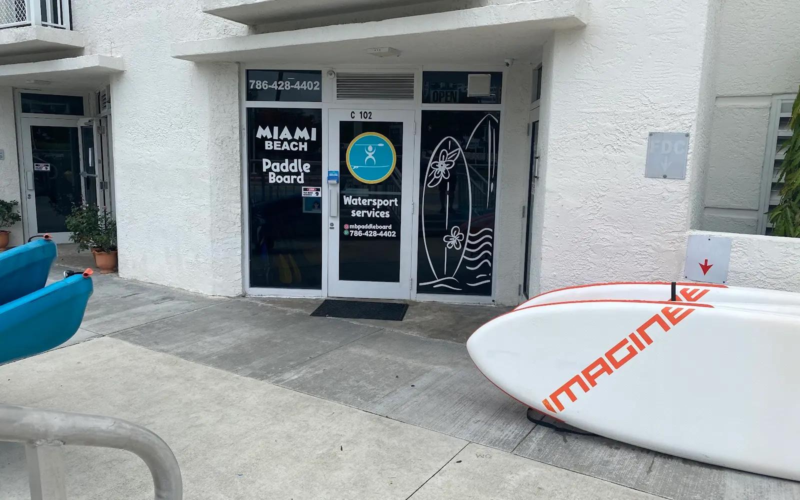
Miami Beach Paddleboard
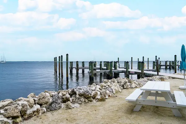
Miami Beach Paddleboard is an SUP school and rentals in Miami Beach. They offer rentals for paddleboards, kayaks, eFoils, and electric surfboards.
Gallery
Outfitter details
- Disciplines
- Paddleboarding (SUP)
Rivers & creeks near this outfitter
Loads the full map of the rivers near this listing. We leave it off by default so the page opens fast on mobile data.
Paddler reviews
What paddlers are saying
- KKaty Holland· a year ago
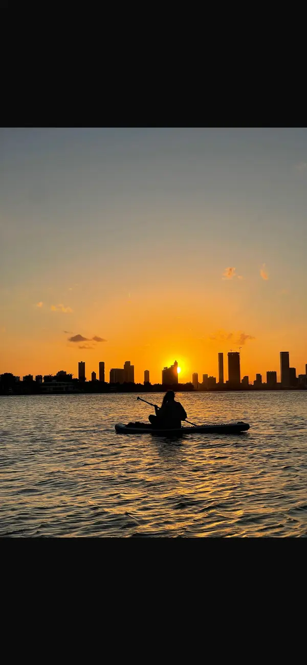
The Sunset Glow paddle board tour with Alberto was awesome! I had never done it before and the instructions were simple and easy. There is enough time to be exploring on my own with my partner, even though we were in a group. It was super chill and fun to be out in the open water of Biscayne Bay.We got to cruise around the canals a bit. A very lovely experience!
- MMalwina Rog· 3 years ago
Although we couldn’t use the groupon to be issues on the day, we were offered to cancel it and use same price for on the day experience. You get to paddle in fairly quiet area (in April) next to multimillion dollar mansions and boats. We definitely recommend to do 2 hours and it felt like just enough to explore the circle. Lovely experience but keep in mind you have to walk with paddle boards from the shop to the shore which is roughly 2-3 minutes. We were fine with that but people with less strength or mobility might struggle. Definitely would come back
- JJanet J· 3 years ago
I had called to book a 2 hour lesson. I booked it & showed up. The staff was super friendly & welcoming. After I signed the waver I was told I would have a quick explanation about paddle boarding before they send me off. I was a tad confused as I had assumed the 2 hours was a lesson. They noticed I was extremely nervous & really took the time to explain in a quick 5 minute tutorial. Which is all that is needed to get started. There is a super easy kayak/ paddleboard launch area with a bar to hold onto. Once I got into the water it was absolutely amazing & so glad I trusted the guys that it was easy. ( it took a few tries before I was able to stand. ) Once I was finish one of the guys was there & helped me out.
- EEmily Rickelton· 2 years ago
We had a few hours between disembarking and our flight home so we spent an hour out on the water paddleboarding! It was gorgeous, easy, and fun. We were dealing with some travel woes due to the tech outage and the man (I'm sorry I forgot his name) with Miami Beach Paddleboard was patient and helpful. The floating dock and the area where you board could not be more stunning! We even got off in the cove and swam for a bit! We highly recommend this business!
Reviews powered by Google. Content belongs to its respective authors.
Typical flow by month
1940 to 2026
The water at Miami Beach Paddleboard typically runs highest in September, at a median 210 cfs, and lowest in April, at 70 cfs. The highest flow on record for any single day is 1,120 cfs, in 2000.
| Month | Typical (cfs) | Usual range (cfs) | Relative level |
|---|---|---|---|
| January | 118 | 80 to 192 | |
| February | 105 | 74 to 178 | |
| March | 91 | 61 to 156 | |
| April | 70 | 31 to 129 | |
| May | 74 | 27 to 141 | |
| June | 150 | 69 to 253 | |
| July | 170 | 92 to 240 | |
| August | 176 | 116 to 255 | |
| September | 210 | 127 to 278 | |
| October | 197 | 122 to 280 | |
| November | 164 | 90 to 253 | |
| December | 150 | 89 to 225 |
Typical is the median of each month’s daily median values, and the usual range runs from the median 25th to the median 75th percentile, across about 66 years of record. Statistics published by the US Geological Survey for Tamiami Canal near Coral Gables, FL (site 02289500). Conditions on any given day can fall well outside the usual range. Check the current reading before you go.
Current conditions
Streamflow
482 cfs
Much above normal (95th)
Water level
2.84 ft
High today
82°F
Wind
11 kt
Gusts 18 kt
Rain chance
47%
Week ahead
Forecast from Open-Meteo global models (NOAA & ECMWF).
More outfitters in Florida

Also nearby
Other ways to get outside within about an hour of here.
Free tools
Your free outdoor toolkit

Everything Map
Listings, trails, spots, clubs and public land on a single full-screen map. Switch layers on and off, then tap any point for the details.
Open Everything MapRiver Explorer
Explore named rivers from the USGS hydrography dataset. Filter by water type or whitewater class.
Open River ExplorerRoute Planner
Drop stops on a map and watch distance and drive time add up. Export a GPX or share the link.
Open Route PlannerPaddling Clubs
Browse local clubs with meeting info and how to join, or start your own for free.
Open Paddling ClubsLive Conditions
Real-time conditions spot by spot, pulled from public weather feeds, before you commit to the drive.
Open Live ConditionsWebcams
Live camera feeds from popular spots. Eyeball the crowd, the surf, or the snow before you go.
Open Webcams


