Great Turtle Kayak Tours
About
Gallery
Outfitter details
- Disciplines
- Kayaking, Sea Kayaking, Guided Tours
Rivers & creeks near this outfitter
Loads the full map of the rivers near this listing. We leave it off by default so the page opens fast on mobile data.
Paddler reviews
What paddlers are saying
- CCharles Payne· a month ago
Anna did a great job as our guide on the Arch Rock tour. We went in the morning, and had perfect weather (clear skies, warm but not hot, very light breeze, and calm water). The paddling was easy through the harbor and around the end of the island to Arch Rock and a little beyond (about 1.5 miles each way). The view of Arch Rock from the water is spectacular. The water was crystal clear, offering nice views of the rocky bottom. From a technical standpoint, the kayaks were in good shape and well maintained. My wife and I are experienced paddlers, but assuming nice weather this tour would be good for beginners. Basic kayak handling instruction was provided before we set out. We went about 3.5 miles total in two hours. I would highly recommend for an enjoyable couple of hours on the water. Thanks again, Anna!
- SSteve Czechowski· a month ago
Highly recommended! Mackinac Island is so beautiful and the water is so clear and blue. Seeing it from land has always been special but being on the kayak tour made us appreciate it even more. We had an amazing tour with Sam and Tyler. They were kind, accommodating and did very well with our young daughters. They knew the history of the island and were entertaining and fun to be around for our trip. The tour was about 2 hours and 5 miles. We felt safe the entire time and kayaked out to Arch Rock and back. I have been coming to the island for 40 years and always wanted to kayak. I thought it would be a one time trip, but I will repeat! The experience was beautiful and our family loved it.
- CCandice Hobson· a month ago
We went out on June 20th and had a great experience. Our tour guide was very informative and had great facts to share about the views around the island. We also had a guide in the back to make sure we stayed together. I believe the entire trip took around 2 hrs. It was a perfect sunny day and a fantastic experience. Would recommend if you're looking for an activity that is less crowded.
- MMere Anders· 2 weeks ago
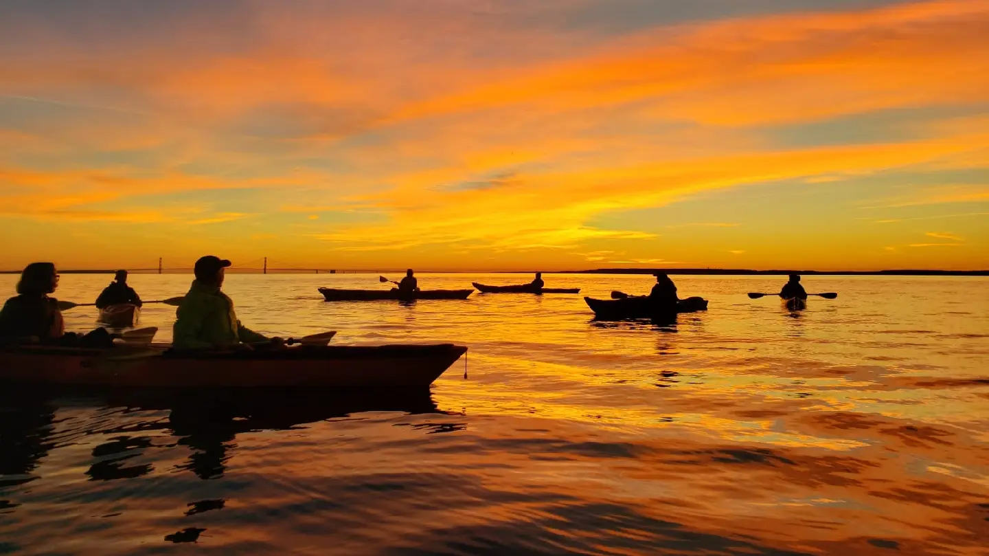
Had an absolutely fantastic time with Anna on a sunset kayak tour. She did a wonderful job of instructing us and the views of the sunset and a freighter passing by were indescribable. Bucket list item checked off! Highly recommend!!!
Reviews powered by Google. Content belongs to its respective authors.
Typical flow by month
1972 to 2026
The water at Great Turtle Kayak Tours typically runs highest in April, at a median 535 cfs, and lowest in August, at 75 cfs. The highest flow on record for any single day is 4,250 cfs, in 2019.
| Month | Typical (cfs) | Usual range (cfs) | Relative level |
|---|---|---|---|
| January | 100 | 86 to 151 | |
| February | 92 | 78 to 122 | |
| March | 135 | 95 to 233 | |
| April | 535 | 292 to 978 | |
| May | 203 | 138 to 270 | |
| June | 108 | 87 to 157 | |
| July | 82 | 67 to 101 | |
| August | 75 | 62 to 101 | |
| September | 85 | 68 to 137 | |
| October | 144 | 93 to 251 | |
| November | 198 | 133 to 311 | |
| December | 160 | 112 to 226 |
Typical is the median of each month’s daily median values, and the usual range runs from the median 25th to the median 75th percentile, across about 54 years of record. Statistics published by the US Geological Survey for Pine River near Rudyard, MI (site 04127917). Conditions on any given day can fall well outside the usual range. Check the current reading before you go.
Current conditions
Streamflow
52 cfs
Much below normal (5th)
Water level
0.92 ft
High today
57°F
Wind
13 kt
Gusts 18 kt
Rain chance
0%
Week ahead
Forecast from Open-Meteo global models (NOAA & ECMWF).
More outfitters in Michigan


Also nearby
Other ways to get outside within about an hour of here.
Free tools
Your free outdoor toolkit

Everything Map
Listings, trails, spots, clubs and public land on a single full-screen map. Switch layers on and off, then tap any point for the details.
Open Everything MapRiver Explorer
Explore named rivers from the USGS hydrography dataset. Filter by water type or whitewater class.
Open River ExplorerRoute Planner
Drop stops on a map and watch distance and drive time add up. Export a GPX or share the link.
Open Route PlannerPaddling Clubs
Browse local clubs with meeting info and how to join, or start your own for free.
Open Paddling ClubsLive Conditions
Real-time conditions spot by spot, pulled from public weather feeds, before you commit to the drive.
Open Live ConditionsWebcams
Live camera feeds from popular spots. Eyeball the crowd, the surf, or the snow before you go.
Open Webcams


