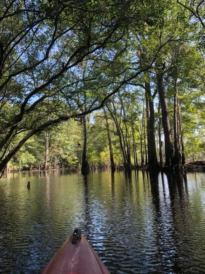
Great Escapes Kayaking Tours
About
Gallery
Outfitter details
- Disciplines
- Kayaking, Sea Kayaking, Guided Tours
Rivers & creeks near this outfitter
Loads the full map of the rivers near this listing. We leave it off by default so the page opens fast on mobile data.
Paddler reviews
What paddlers are saying
- AAmanda Buzo· a month ago
We booked the Private Barrier Island Kayak Tour for a group of 8 ranging in age from 15 to mid-70s in July 2026. Everyone had a fantastic time and our guides, Freddie and Devyn, were fantastic. (Sorry if I misspelled your names!) They helped our one inexperienced kayaker and Freddie gave an excellent tour. We appreciated the company postponing for a day due to weather and giving us the option of a refund. It is a beautiful area and we enjoyed seeing a different side of MB. Would definitely use this company again and book another tour.
- LLinda A· 3 months ago
Really great company. Wasn't sure what to expect, we did rental kayak to the island. Bubba was our operator. He was great at explaining, making us feel comfortable with directions and knows a ton about the tides, sea life. He spotted a ray. Told me about sand dollar doves. For you inexperienced kayakers theres a waterproof trunk ( who knew) so you can bring stuff, it fits. The one to the island has a bathroom for changing after. Really great day! Parking was extremely easy. Thank you Bubba! they email you a what to bring list that was really helpful. I honestly wouldn't have remembered snacks and water because usually its somewhere.
- SSara Brisky· a year ago
This was so fun! A great activity for all ages. The tour guides Bubba and Richard were a lot of fun and also gave a quick overview of how to kayak for beginners. The beginner route is 2 hours and was mostly downstream so it was easy to paddle. Driving here or scheduling a ride would be best if possible. We had to wait about 20 minutes after the tour for Uber to make it out here. After the kayak tour, we got to walk around the property and see horses, chickens, roosters, and a pig named BLT!! Then they drive you back to the starting spot once it’s over to retrieve your personal items and vehicles. Highly recommend!
- MMelissa Radtke· a year ago
We did the Waties Island Kayak Tour and had a blast! It was an excellent time with great guides!! Shrimp jumped into our kayak, 3 of them, we were told this was good luck and while on the island we found a complete sand dollar!!! Great paddling in and out as they go with the tides and made for a much enjoyable adventure! Great guides, lots of knowledge and fun! You won't be disappointed in this Tour!!
Reviews powered by Google. Content belongs to its respective authors.
Typical flow by month
1990 to 2000
The water at Great Escapes Kayaking Tours typically runs highest in March, at a median 1,880 cfs, and lowest in July, at 411 cfs. The highest flow on record for any single day is 10,000 cfs, in 1996.
| Month | Typical (cfs) | Usual range (cfs) | Relative level |
|---|---|---|---|
| January | 1,310 | 780 to 2,440 | |
| February | 1,710 | 1,200 to 3,390 | |
| March | 1,880 | 1,200 to 2,940 | |
| April | 1,425 | 610 to 2,505 | |
| May | 694 | 376 to 1,210 | |
| June | 463 | 205 to 736 | |
| July | 411 | 217 to 1,160 | |
| August | 606 | 298 to 1,400 | |
| September | 700 | 350 to 1,625 | |
| October | 1,250 | 512 to 2,550 | |
| November | 881 | 387 to 1,355 | |
| December | 899 | 433 to 1,560 |
Typical is the median of each month’s daily median values, and the usual range runs from the median 25th to the median 75th percentile, across about 11 years of record. Statistics published by the US Geological Survey for Aiw at Highway 9 at Nixons Crossroads, SC (site 02110777). Conditions on any given day can fall well outside the usual range. Check the current reading before you go.
Current conditions
Water level
13.62 ft
Normal (66th)
Water
83°F
High today
85°F
Wind
12 kt
Gusts 17 kt
Rain chance
37%
Week ahead
Forecast from Open-Meteo global models (NOAA & ECMWF).
More outfitters in South Carolina
Also nearby
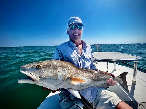
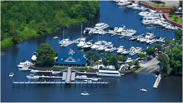
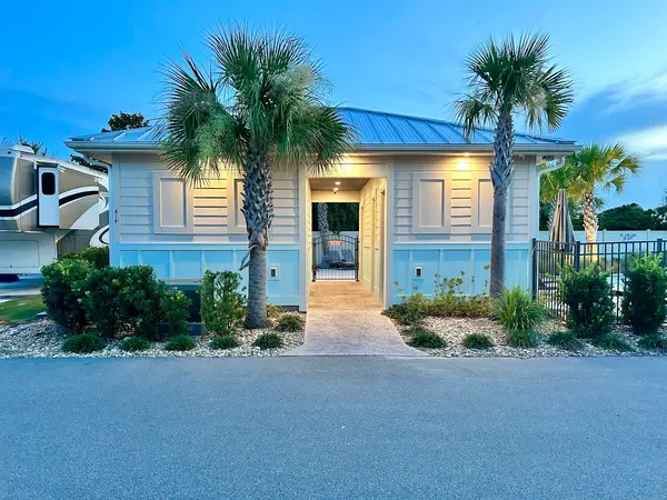
Other ways to get outside within about an hour of here.
Free tools
Your free outdoor toolkit

Everything Map
Listings, trails, spots, clubs and public land on a single full-screen map. Switch layers on and off, then tap any point for the details.
Open Everything MapRiver Explorer
Explore named rivers from the USGS hydrography dataset. Filter by water type or whitewater class.
Open River ExplorerRoute Planner
Drop stops on a map and watch distance and drive time add up. Export a GPX or share the link.
Open Route PlannerPaddling Clubs
Browse local clubs with meeting info and how to join, or start your own for free.
Open Paddling ClubsLive Conditions
Real-time conditions spot by spot, pulled from public weather feeds, before you commit to the drive.
Open Live ConditionsWebcams
Live camera feeds from popular spots. Eyeball the crowd, the surf, or the snow before you go.
Open Webcams


