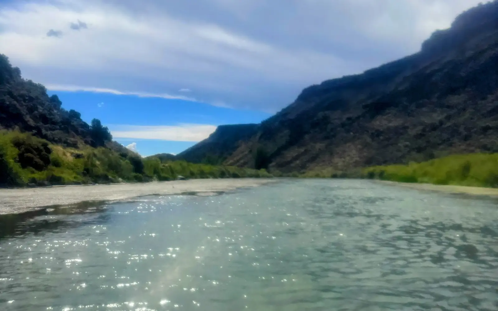
Far Flung Riverside
About
Gallery
Outfitter details
- Disciplines
- Paddleboarding (SUP)
Paddler reviews
Rating from Google.
Around here
Around Far Flung Riverside
- LUXX LodgeRV park · ★ 4.411.8 mi (opens in a new tab)
- Taos RV ParkRV park11.8 mi (opens in a new tab)
- Amole Canyon Group ShelterGroup camp · 1 site12 mi
- Taos Valley RV ParkRV park · ★ 4.412.5 mi (opens in a new tab)
- Taos Monte Bello RV Park, LLCRV park · ★ 4.715.1 mi (opens in a new tab)
- Las Petacas CampgroundCampground16.5 mi
- Orilla Verde Recreation AreaRecreation area4.9 mi (opens in a new tab)
- Taos Valley Overlook TrailsRecreation area5.8 mi (opens in a new tab)
- Old Spanish National Historic TrailRecreation area6.2 mi (opens in a new tab)
- Carson National ForestRecreation area14.3 mi (opens in a new tab)
- Posi-OuingeRecreation area14.7 mi (opens in a new tab)
- Horsethief Mesa TrailRecreation area19.1 mi (opens in a new tab)
Data Source: Recreation.gov · Source: USGS GNIS · Public land: USGS PAD-US
Typical flow by month
1926 to 2026
The water at Far Flung Riverside typically runs highest in May, at a median 1,100 cfs, and lowest in September, at 270 cfs. The highest flow on record for any single day is 9,730 cfs, in 1948.
Show the numbers
| Month | Typical (cfs) | Usual range (cfs) |
|---|---|---|
| January | 468 | 408 to 528 |
| February | 529 | 444 to 615 |
| March | 626 | 506 to 804 |
| April | 592 | 367 to 898 |
| May | 1,100 | 431 to 2,200 |
| June | 953 | 376 to 2,425 |
| July | 375 | 243 to 699 |
| August | 303 | 238 to 448 |
| September | 270 | 220 to 365 |
| October | 305 | 245 to 406 |
| November | 485 | 309 to 636 |
| December | 480 | 391 to 548 |
Typical is the median of each month’s daily median values, and the usual range runs from the median 25th to the median 75th percentile, across about 101 years of record. Statistics published by the US Geological Survey for Rio Grande below Taos Junction Bridge near Taos, NM (site 08276500). Conditions on any given day can fall well outside the usual range. Check the current reading before you go.
Current conditions
Today · Fri
88Go/ 100
CloudyHigh 57°F, low 34°FRain 1%Wind 5 kt, gusts 6
Streamflow
4,460 cfs
Much above normal (95th)
Water level
7.26 ft
Air quality
0 Good
Taos Fire Station monitor, 22 km
National Weather ServiceBelow flood stage
Flood stage 10 ft. NWS reads 7.5 ft here.
NWS issues forecasts here only during high water.
Forecast from Open-Meteo global models (NOAA & ECMWF). Flood stages and forecasts: NOAA National Weather Service. Air quality: New Mexico Air Quality Bureau via EPA AirNow. Preliminary data, not verified.
More outfitters in New Mexico



Also nearby
Other ways to get outside within about an hour of here.

Free tools