Dolphin Cove Marina Gulf Shores, AL
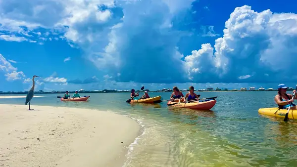
Dolphin Cove Marina Gulf Shores, AL is a kayak tour operator in Gulf Shores.
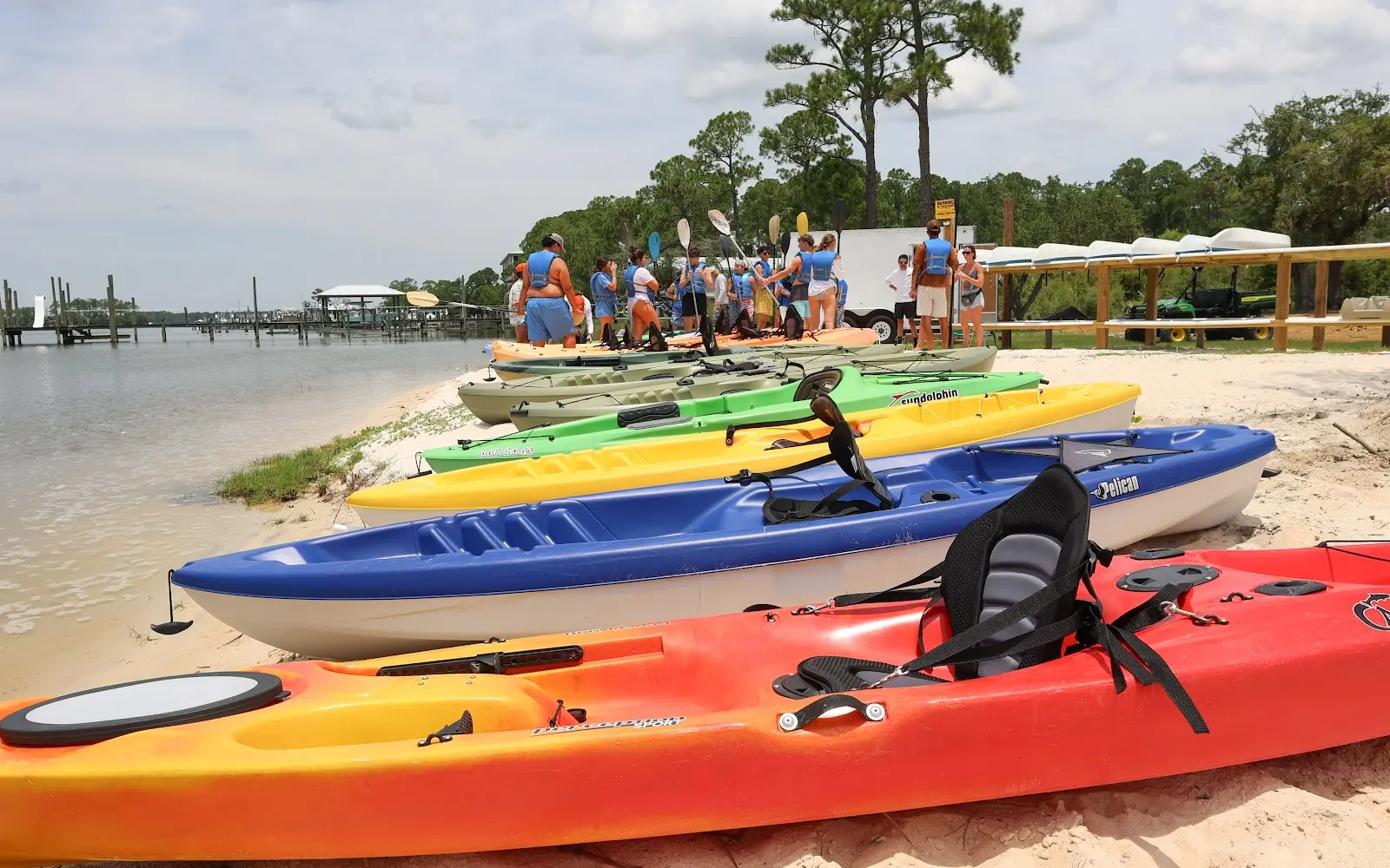
Gallery
Outfitter details
- Disciplines
- Guided Tours
Paddler reviews
Rating from Google.
Around here
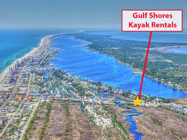
Around Dolphin Cove Marina Gulf Shores, AL
- Island Retreat RV ParkRV park · ★ 4.62.2 mi (opens in a new tab)
- Gulf Shores RV ResortRV park · ★ 4.72.3 mi (opens in a new tab)
- Gulf Breeze RV ResortRV park · ★ 4.43.2 mi (opens in a new tab)
- Luxury RV ResortRV park · ★ 4.63.5 mi (opens in a new tab)
- Blue Heron Escape RV ResortRV park · ★ 4.94.7 mi (opens in a new tab)
- Gulf State Park RV ResortRV park · ★ 4.55 mi (opens in a new tab)
Data Source: Recreation.gov · Source: USGS GNIS · Public land: USGS PAD-US
Typical water level by month
2021 to 2026
The water at Dolphin Cove Marina Gulf Shores, AL typically sits highest in September, at a median 1.10 ft, and lowest in January, at 0.23 ft. The highest water level on record for any single day is 2.55 ft, in 2021.
Show the numbers
| Month | Typical (ft) | Usual range (ft) |
|---|---|---|
| January | 0.23 | -0.13 to 0.55 |
| February | 0.29 | 0.01 to 0.63 |
| March | 0.46 | 0.19 to 0.77 |
| April | 0.71 | 0.41 to 0.89 |
| May | 0.83 | 0.62 to 1.02 |
| June | 0.91 | 0.77 to 1.13 |
| July | 0.80 | 0.65 to 0.91 |
| August | 0.86 | 0.69 to 1.14 |
| September | 1.10 | 0.93 to 1.29 |
| October | 1.07 | 0.84 to 1.31 |
| November | 0.75 | 0.47 to 1.08 |
| December | 0.56 | 0.15 to 0.85 |
Typical is the median of each month’s daily median values, and the usual range runs from the median 25th to the median 75th percentile, across about 5 years of record. Statistics published by the US Geological Survey for Intracoastal Waterway - Gulf Shores, AL. (site 02378185). Conditions on any given day can fall well outside the usual range. Check the current reading before you go.
Current conditions
Today · Sat
79Go/ 100
CloudyHigh 72°F, low 53°FRain 0%Wind 10 kt, gusts 19
Streamflow
-732 cfs
Water level
1.69 ft
Normal (75th)
Air quality
5 Good
FAIRHOPE monitor, 26 km
National Weather Service
NWS issues forecasts here only during high water.
Tides
Rising
High 1.9 ft at 8:48 PM
Predicted at Bon Secour, Bon Secour River, 2 km away.
Get a 2027 tide calendar for this stationForecast from Open-Meteo global models (NOAA & ECMWF). Flood stages and forecasts: NOAA National Weather Service. Air quality: Alabama Department of Environmental Management via EPA AirNow. Preliminary data, not verified. Tide predictions: NOAA CO-OPS, feet above mean lower low water.
More outfitters in Alabama
Also nearby
Other ways to get outside within about an hour of here.
Free tools