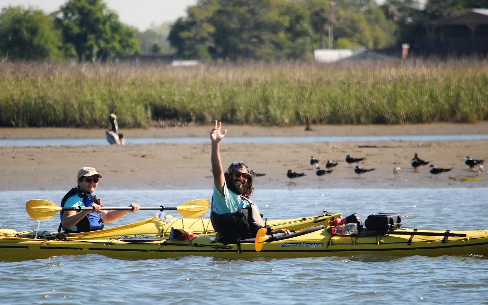
Charleston Outdoor Adventures
About
Gallery
Outfitter details
- Disciplines
- Paddleboarding (SUP)
Rivers & creeks near this outfitter
Loads the full map of the rivers near this listing. We leave it off by default so the page opens fast on mobile data.
Paddler reviews
What paddlers are saying
- SSarah Murtaugh· a month ago
I loved the 6:30 group kayak tour! It was so cool seeing all the wildlife while the sun set on the water. We saw at least 5 dolphins really up close! Kelly was a wonderful guide and I learned so much from her. I will definitely recommend this to people as one of my favorite things to do in the Charleston area. Bonus is getting food/drink at Bowen’s Island Restaurant either before or after the tour.
- EEddie Anslum· 3 months ago
Shawn was very knowledgeable about the area. I highly recommend a trip here. Just an absolutely perfect way to absorb the sun, water, and wildlife with tidbits of information in regards to the local heritage. We had about 2 hours of paddle time but were never rushed from location to location. I was able to go at my own pace, take photos and videos at my leisure. Once some playful dolphins started to breach Shawn did an amazing job of keeping everyone a healthy distance from them while also allowing us to enjoy our time with them. Thank you to Shawn and everyone at COA.
- JJames Frazier· 2 months ago
I have been a few boat tours in Charleston but this was by far my favorite experience. We saw so many dolphins! It was incredible! Our tour guide, Chris was amazing! He was knowledgeable, friendly, and very funny! However what impressed me the most was his true love of what makes Charleston my favorite city in the world. 100/5 stars!
- TTiffanee Sundberg· 2 months ago
Captain Chris took us out this evening and it was a mesmerizing ride from beginning to end. Starting off with his gracious Southern Charm which would make any mother proud. As soon as we were in the marsh, we had some great interaction with dolphins and his knowledge of the birds, top-tier. His skillful navigating and educational stops along the way allowed ample time to explore Morris Island! Captain Chris was grateful for our prompt return to the boat and continued to share his depth of knowledge, wit, and love for the real Low Country. COA has provided an awesome opportunity by using Captains that are local and raised to respect the heritage and ecosystem of the LC. Keep making your mama proud!!
Reviews powered by Google. Content belongs to its respective authors.
Typical water level by month
1992 to 2026
The water at Charleston Outdoor Adventures typically sits highest in October, at a median 18.66 ft, and lowest in January, at 17.77 ft. The highest water level on record for any single day is 20.88 ft, in 2017.
| Month | Typical (ft) | Usual range (ft) | Relative level |
|---|---|---|---|
| January | 17.77 | 17.43 to 18.16 | |
| February | 17.88 | 17.50 to 18.23 | |
| March | 17.93 | 17.63 to 18.29 | |
| April | 18.01 | 17.68 to 18.43 | |
| May | 18.14 | 17.89 to 18.43 | |
| June | 18.09 | 17.82 to 18.45 | |
| July | 18.01 | 17.77 to 18.32 | |
| August | 18.27 | 17.93 to 18.57 | |
| September | 18.62 | 18.37 to 18.95 | |
| October | 18.66 | 18.35 to 19.00 | |
| November | 18.34 | 18.02 to 18.75 | |
| December | 17.98 | 17.64 to 18.40 |
Typical is the median of each month’s daily median values, and the usual range runs from the median 25th to the median 75th percentile, across about 31 years of record. Statistics published by the US Geological Survey for Wando River above MT Pleasant, SC (site 021720698). Conditions on any given day can fall well outside the usual range. Check the current reading before you go.
Current conditions
High today
84°F
Wind
13 kt
Gusts 17 kt
Rain chance
25%
Week ahead
Forecast from Open-Meteo global models (NOAA & ECMWF).
More outfitters in South Carolina

Also nearby
Other ways to get outside within about an hour of here.
Free tools
Your free outdoor toolkit

Everything Map
Listings, trails, spots, clubs and public land on a single full-screen map. Switch layers on and off, then tap any point for the details.
Open Everything MapRiver Explorer
Explore named rivers from the USGS hydrography dataset. Filter by water type or whitewater class.
Open River ExplorerRoute Planner
Drop stops on a map and watch distance and drive time add up. Export a GPX or share the link.
Open Route PlannerPaddling Clubs
Browse local clubs with meeting info and how to join, or start your own for free.
Open Paddling ClubsLive Conditions
Real-time conditions spot by spot, pulled from public weather feeds, before you commit to the drive.
Open Live ConditionsWebcams
Live camera feeds from popular spots. Eyeball the crowd, the surf, or the snow before you go.
Open Webcams


