Ayers Landing Canoes, Tubes and Kayaks
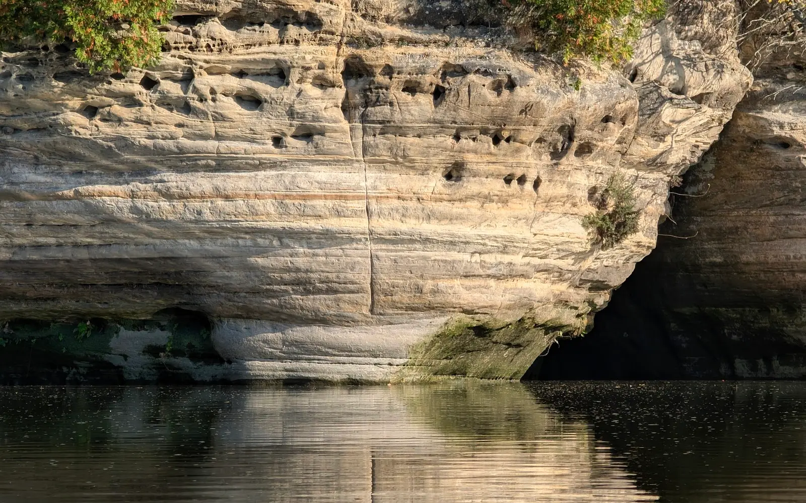
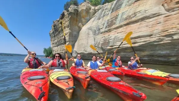
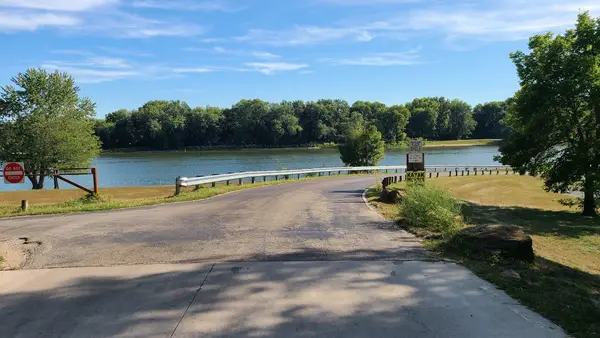
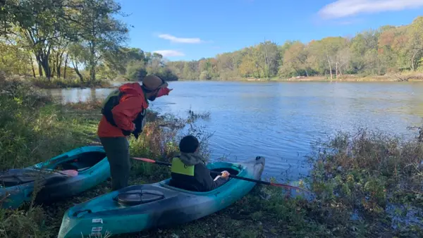
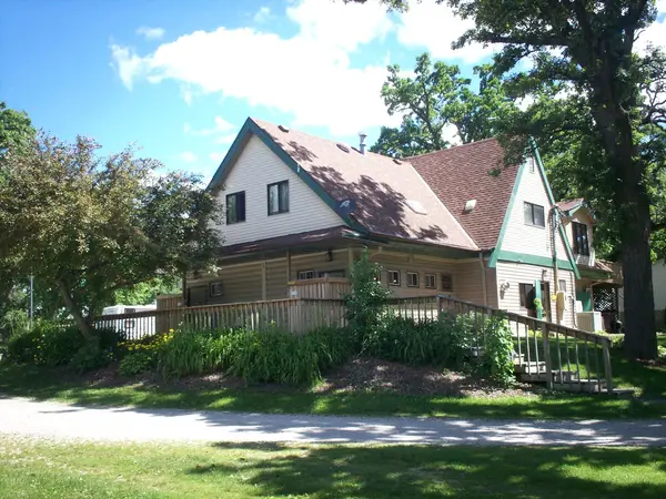
Ayers Landing Canoes, Tubes and Kayaks is a kayak & canoe livery in Wedron. They offer canoe, kayak, and tube rentals for trips of 6 or 12 miles.
Gallery
Outfitter details
- Disciplines
- Kayaking, Canoeing
Paddler reviews
Rating from Google.
Around here
Around Ayers Landing Canoes, Tubes and Kayaks
- Mallard Bend RV ResortRV park · ★ 3.910.7 mi (opens in a new tab)
- LaSalle / Peru KOA JourneyRV park · ★ 4.513.6 mi (opens in a new tab)
- Nature's Way RV ParkRV park · ★ 4.913.7 mi (opens in a new tab)
- Starved Rock Family CampgroundRV park · ★ 4.814.1 mi (opens in a new tab)
- Starved Rock State Park CampgroundRV park · ★ 4.314.4 mi (opens in a new tab)
- Fox Creek RV ResortRV park · ★ 3.615.7 mi (opens in a new tab)
Data Source: Recreation.gov · Source: USGS GNIS · Public land: USGS PAD-US
Typical flow by month
1915 to 2026
The water at Ayers Landing Canoes, Tubes and Kayaks typically runs highest in March, at a median 2,900 cfs, and lowest in September, at 627 cfs. The highest flow on record for any single day is 46,600 cfs, in 1996.
Show the numbers
| Month | Typical (cfs) | Usual range (cfs) |
|---|---|---|
| January | 1,200 | 700 to 1,950 |
| February | 1,400 | 828 to 2,660 |
| March | 2,900 | 1,860 to 4,520 |
| April | 2,890 | 1,660 to 4,495 |
| May | 2,190 | 1,160 to 3,570 |
| June | 1,480 | 832 to 2,870 |
| July | 931 | 509 to 1,660 |
| August | 687 | 411 to 1,220 |
| September | 627 | 385 to 1,165 |
| October | 807 | 465 to 1,470 |
| November | 1,295 | 727 to 1,920 |
| December | 1,260 | 661 to 2,040 |
Typical is the median of each month’s daily median values, and the usual range runs from the median 25th to the median 75th percentile, across about 112 years of record. Statistics published by the US Geological Survey for Fox River at Dayton, IL (site 05552500). Conditions on any given day can fall well outside the usual range. Check the current reading before you go.
Current conditions
Today · Fri
53Maybe/ 100
High 45°F · Wind 11 kt
CloudyHigh 45°F, low 35°FRain 0%Wind 11 kt, gusts 22
Streamflow
1,910 cfs
Above normal (75th)
Water level
6.72 ft
National Weather ServiceBelow flood stage
Flood stage 12 ft. NWS reads 6.73 ft here.
NWS issues forecasts here only during high water.
Forecast from Open-Meteo global models (NOAA & ECMWF). Flood stages and forecasts: NOAA National Weather Service.
More outfitters in Illinois
Also nearby
Other ways to get outside within about an hour of here.
Free tools