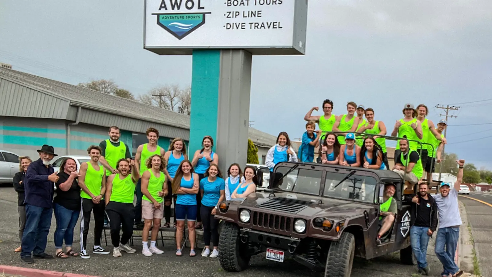
AWOL Adventure Sports
About
Gallery
Outfitter details
- Disciplines
- Lessons, Kayaking
Rivers & creeks near this outfitter
Loads the full map of the rivers near this listing. We leave it off by default so the page opens fast on mobile data.
Paddler reviews
What paddlers are saying
- MMerrill Waayers· 2 weeks ago
We were totally blessed in that we were the only two people on the tour on a pontoon tour boat! We had the best young tour guides ever! Both young ladies were vivacious and informative. When we beached the pontoon boat so we could get up and walk around, because I'm recovering from surgeries, I had some difficulty walking around on the gravel trail. Our young tour guide was so patient and kind and caring. I love both these two young ladies and wanted to take them home with me!! The tour took us through a very scenic valley/river. My husband was even able to get some swimming in. I highly recommend. Noelia and Macy were the best!!
- LLynn Santiago· a month ago
We had a wonderful time on the pontoon tour boat. Evan and Xander were very personable and helpful. I would recommend this for anyone. The young ladies at the check in were very nice as well.
- Bbonnle mink· 4 months ago
Great tour they added on for us so we could that the tour after we booked the wrong day....thank you so much for that.. and the young men were so nice ...Braxton and Braden
- BBrittany January· 3 years ago
Huge thanks to Logan and Karen! The kayaking tour was absolutely amazing! They both were fun to have with the group and taught us a lot about the River! Would highly recommend to everyone!
Reviews powered by Google. Content belongs to its respective authors.
Typical flow by month
1993 to 2026
The water at AWOL Adventure Sports typically runs highest in September, at a median 152 cfs, and lowest in February, at 47 cfs. The highest flow on record for any single day is 602 cfs, in 2019.
| Month | Typical (cfs) | Usual range (cfs) | Relative level |
|---|---|---|---|
| January | 49 | 43 to 57 | |
| February | 47 | 40 to 60 | |
| March | 51 | 41 to 79 | |
| April | 126 | 85 to 196 | |
| May | 148 | 100 to 235 | |
| June | 113 | 91 to 146 | |
| July | 107 | 90 to 121 | |
| August | 127 | 104 to 141 | |
| September | 152 | 134 to 168 | |
| October | 150 | 132 to 173 | |
| November | 79 | 72 to 87 | |
| December | 59 | 53 to 64 |
Typical is the median of each month’s daily median values, and the usual range runs from the median 25th to the median 75th percentile, across about 33 years of record. Statistics published by the US Geological Survey for Rock Creek above Hwy 30/93 Xing at Twin Falls ID (site 13092747). Conditions on any given day can fall well outside the usual range. Check the current reading before you go.
Current conditions
Streamflow
130 cfs
Below normal (20th)
Water level
6.68 ft
Water
59°F
High today
81°F
Wind
19 kt
Gusts 26 kt
Rain chance
20%
Week ahead
Forecast from Open-Meteo global models (NOAA & ECMWF).
More outfitters in Idaho
Also nearby
Other ways to get outside within about an hour of here.
Free tools
Your free outdoor toolkit

Everything Map
Listings, trails, spots, clubs and public land on a single full-screen map. Switch layers on and off, then tap any point for the details.
Open Everything MapRiver Explorer
Explore named rivers from the USGS hydrography dataset. Filter by water type or whitewater class.
Open River ExplorerRoute Planner
Drop stops on a map and watch distance and drive time add up. Export a GPX or share the link.
Open Route PlannerPaddling Clubs
Browse local clubs with meeting info and how to join, or start your own for free.
Open Paddling ClubsLive Conditions
Real-time conditions spot by spot, pulled from public weather feeds, before you commit to the drive.
Open Live ConditionsWebcams
Live camera feeds from popular spots. Eyeball the crowd, the surf, or the snow before you go.
Open Webcams


