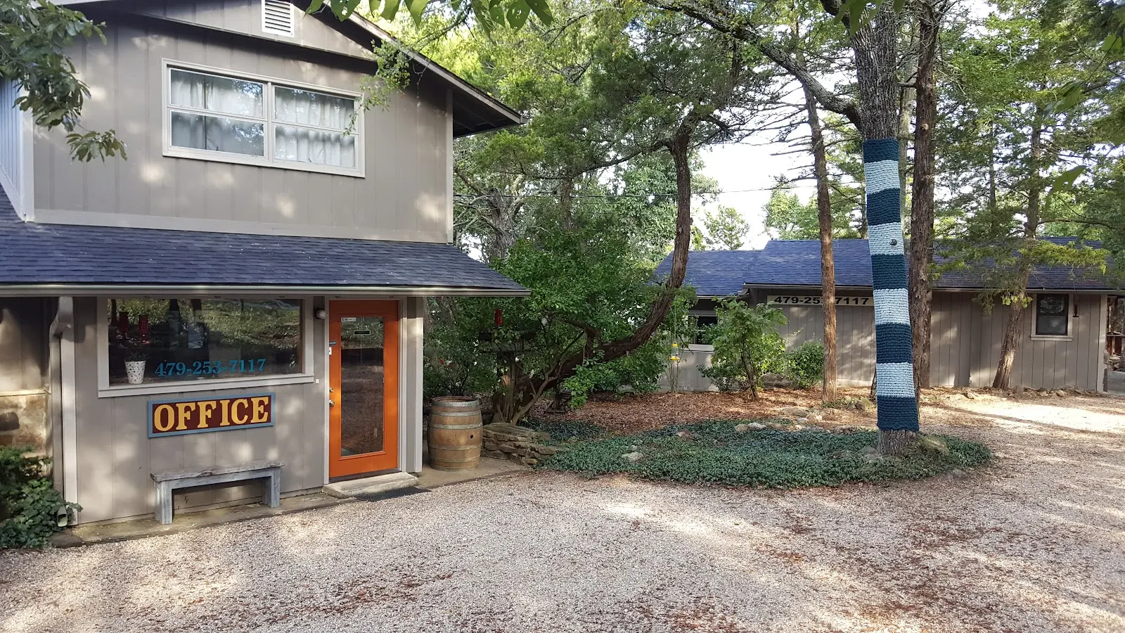
Arkansas White River Cabins of Eureka Springs
Arkansas White River Cabins of Eureka Springs is a whitewater rafting outfitter in Eureka Springs.
Gallery
Outfitter details
- Disciplines
- Rafting, Whitewater
Rivers & creeks near this outfitter
Loads the full map of the rivers near this listing. We leave it off by default so the page opens fast on mobile data.
Paddler reviews
What paddlers are saying
- AAbigail Pearson· 3 months ago
Absolutely Amazing!!!! This was the perfect get a way. My husband surprised me with a special anniversary stay at the cliff side cabin at White River Cabins. It has THE BEST VIEW of the sunset over the beautiful trees and white river. The room was clean and comfy. We had everything we needed from coffee, ice trays, plenty of towels, toilet paper, blow dryer, and dishes. Art, (the owner) was so kind and made sure we had everything we needed. They have owned this place for over 10 years and you can tell they put time and care into it. This is the perfect spot for couples!!!! LOVE IT!!!!
- AAmy Asher· 4 months ago
My husband and I left this peaceful cabin feeling like new people. The stunning balcony views and the absolute silence of a kid-free/pet-free environment made this the perfect "healing retreat." Art and Amy have thought of everything—from the well-equipped kitchen to the impressive cleanliness of the entire space. Even the shower was great, with hot water and strong pressure. The 15-minute drive into Eureka Springs is winding and beautiful, making the cabin feel like a private sanctuary without being too far from town. It was exactly what our tired souls needed.
- SShashank Sharma· 3 months ago
Review for cliffside: This is probably one of the best cabins, since it's standalone. Space is decent and the setup is cozy. Restroom is a bit small and tall or heavy people might have some issues. Review for the property: The views are mesmerizing, especially on cold mornings with the mist and clouds covering the valley. It's 15 mins from Eureka Springs downtown and 10-15 mins from kayaking/boating access points on the lake as well as the river. Art and Amy are super nice hosts, getting you everything you might need for the stay and being proactive on communication before your stay. The property is on sale as of now, so better book the place soon before it's off limits.
- AAndrew Dale· 2 months ago
We had the Cliffside cabin. It was perfect for 2 people. The view off the back deck (where we spent most our time) was awesome. The location was quiet and perfectly located for what we were doing. I got to visit with Art and it is obcious they genuinely care about the needs of the people staying there. We will definitely be back.
Reviews powered by Google. Content belongs to its respective authors.
Typical flow by month
1939 to 2026
The water at Arkansas White River Cabins of Eureka Springs typically runs highest in April, at a median 620 cfs, and lowest in September, at 34 cfs. The highest flow on record for any single day is 41,000 cfs, in 2011.
| Month | Typical (cfs) | Usual range (cfs) | Relative level |
|---|---|---|---|
| January | 265 | 102 to 622 | |
| February | 400 | 175 to 775 | |
| March | 564 | 302 to 1,220 | |
| April | 620 | 309 to 1,315 | |
| May | 600 | 274 to 1,330 | |
| June | 180 | 91 to 428 | |
| July | 77 | 39 to 162 | |
| August | 43 | 21 to 76 | |
| September | 34 | 17 to 69 | |
| October | 47 | 20 to 112 | |
| November | 96 | 36 to 439 | |
| December | 214 | 73 to 411 |
Typical is the median of each month’s daily median values, and the usual range runs from the median 25th to the median 75th percentile, across about 70 years of record. Statistics published by the US Geological Survey for Kings River near Berryville, AR (site 07050500). Conditions on any given day can fall well outside the usual range. Check the current reading before you go.
Current conditions
Streamflow
21 cfs
Below normal (24th)
Water level
2.67 ft
High today
85°F
Wind
9 kt
Gusts 20 kt
Rain chance
12%
Week ahead
Forecast from Open-Meteo global models (NOAA & ECMWF).
More outfitters in Arkansas

Also nearby
Other ways to get outside within about an hour of here.
Free tools
Your free outdoor toolkit

Everything Map
Listings, trails, spots, clubs and public land on a single full-screen map. Switch layers on and off, then tap any point for the details.
Open Everything MapRiver Explorer
Explore named rivers from the USGS hydrography dataset. Filter by water type or whitewater class.
Open River ExplorerRoute Planner
Drop stops on a map and watch distance and drive time add up. Export a GPX or share the link.
Open Route PlannerPaddling Clubs
Browse local clubs with meeting info and how to join, or start your own for free.
Open Paddling ClubsLive Conditions
Real-time conditions spot by spot, pulled from public weather feeds, before you commit to the drive.
Open Live ConditionsWebcams
Live camera feeds from popular spots. Eyeball the crowd, the surf, or the snow before you go.
Open Webcams


