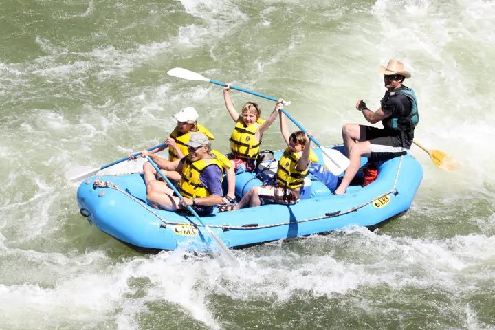
Adventure Missoula
Adventure Missoula is a kayak tour operator in Alberton.
Gallery
Outfitter details
- Disciplines
- Kayaking, Sea Kayaking, Guided Tours
Rivers & creeks near this outfitter
Loads the full map of the rivers near this listing. We leave it off by default so the page opens fast on mobile data.
Paddler reviews
What paddlers are saying
- SStephanie Pushaw· a month ago
I took a group of visiting writers on the scenic float trip with the canopy brew rafts as part of our nature writing residency and everyone had an amazing time. Our guides Owen and Lisa were awesome and provided great info about the local ecology. The river is gorgeous, the snacks and drinks were on point and the cherry on top was getting to take a swim break. I also really appreciated the personalized planning and communication, and the shuttle van was a perfect way of transporting our group of 12. We will definitely bring future groups back!
- KKevin Bonthius· 2 months ago
What an incredible experience. Weather and water level were perfect and there was a nice variety of rapids. Our guide Leah was wonderful and provided a lot of fun facts and information. Highly recommend!
- AAnna Hugoboom· a month ago
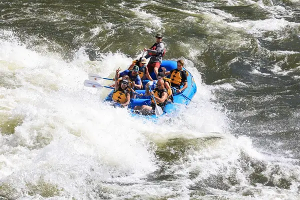
This rafting experience was such a blast! It was a perfect blend of white water rapids and relaxing floating, and we saw so many eagles on the way. And our guide Lisa was awesome!
- DDanielle Strong· a month ago
This was our 2nd float trip and an absolute A+. Kiah was our guide along with Liah and John. We did the 3 hour trip with class 1/2/3 rapids. Super fun, super safe! Will 100% be back.
Reviews powered by Google. Content belongs to its respective authors.
Typical flow by month
1930 to 2025
The water at Adventure Missoula typically runs highest in June, at a median 15,400 cfs, and lowest in August, at 2,030 cfs. The highest flow on record for any single day is 54,100 cfs, in 1997.
| Month | Typical (cfs) | Usual range (cfs) | Relative level |
|---|---|---|---|
| January | 2,060 | 1,710 to 2,580 | |
| February | 2,240 | 1,860 to 2,720 | |
| March | 2,670 | 2,250 to 3,440 | |
| April | 5,310 | 3,725 to 8,260 | |
| May | 12,100 | 9,830 to 19,000 | |
| June | 15,400 | 10,400 to 21,250 | |
| July | 4,530 | 2,820 to 6,650 | |
| August | 2,030 | 1,500 to 2,650 | |
| September | 2,115 | 1,650 to 2,690 | |
| October | 2,520 | 2,080 to 2,990 | |
| November | 2,580 | 2,235 to 3,095 | |
| December | 2,250 | 1,880 to 2,770 |
Typical is the median of each month’s daily median values, and the usual range runs from the median 25th to the median 75th percentile, across about 96 years of record. Statistics published by the US Geological Survey for Clark Fork below Missoula MT (site 12353000). Conditions on any given day can fall well outside the usual range. Check the current reading before you go.
Current conditions
Streamflow
2,730 cfs
Normal (73rd)
Water level
1.45 ft
High today
79°F
Wind
8 kt
Gusts 11 kt
Rain chance
0%
Week ahead
Forecast from Open-Meteo global models (NOAA & ECMWF).
More outfitters in Montana

Also nearby
Other ways to get outside within about an hour of here.
Free tools
Your free outdoor toolkit

Everything Map
Listings, trails, spots, clubs and public land on a single full-screen map. Switch layers on and off, then tap any point for the details.
Open Everything MapRiver Explorer
Explore named rivers from the USGS hydrography dataset. Filter by water type or whitewater class.
Open River ExplorerRoute Planner
Drop stops on a map and watch distance and drive time add up. Export a GPX or share the link.
Open Route PlannerPaddling Clubs
Browse local clubs with meeting info and how to join, or start your own for free.
Open Paddling ClubsLive Conditions
Real-time conditions spot by spot, pulled from public weather feeds, before you commit to the drive.
Open Live ConditionsWebcams
Live camera feeds from popular spots. Eyeball the crowd, the surf, or the snow before you go.
Open Webcams


