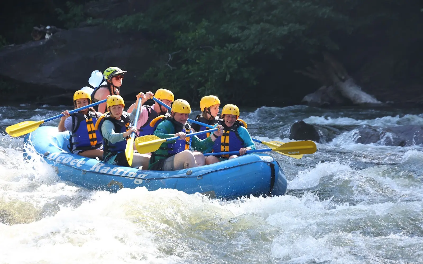
Ocoee Rafting
About
Gallery
Outfitter details
- Disciplines
- Rafting, Whitewater
Rivers & creeks near this outfitter
Loads the full map of the rivers near this listing. We leave it off by default so the page opens fast on mobile data.
Paddler reviews
What paddlers are saying
- JJoana Thomas· a month ago
Best time EVER!!! We had an AMAZING time rafting with Cam at Ocoee Rafting! He was an incredible guide from beginning to end. He made us feel safe and comfortable while still making the entire experience exciting and fun. Cam took the time to teach us everything we needed to know, including how to safely get on and off the raft, what to do through the rapids, and how to work together as a team. What really made the experience special was how knowledgeable he was about the entire area. As we rafted, he told us about the surrounding wildlife, the landscape, and even the rock formations and how old they were. It felt like we were getting a rafting adventure and a nature/history tour all in one! Cam was knowledgeable, patient, professional, and fun. You could tell he genuinely enjoys what he does and cares about giving everyone a great experience. If you’re rafting with Ocoee Rafting, ask for Cam! We would absolutely choose him again.
- AAsh B· 3 weeks ago
Great time rafting with Fisher! I forgot to collect my rings 🥲, hold on to them for me haha. Great experience! We felt very safe! Very respected. Really knows his stuff, when we come back we are requesting you specifically!! Only choose him if you want a great adventure!! The Rodeo was my fav!
- LLindsey Willard· a month ago
We had a really great time rafting! The difficulty of the full river tour was just right for our group of adventurous friends. Our guide, Andy, was great! He always gave us clear directions and didn’t take any unnecessary risks. But it was so fun because he allowed us to swim some and sit on the front of the boat if we wanted. He was very knowledgeable and friendly. We will definitely be back and request him as our guide again. Highly recommend!!
- JJP II· 3 weeks ago
I had the pleasure of going on a group trip to Ocoee Rafting this past Saturday with a group of about 15 friends. It was very low stress and welcoming there. It was organized, the staff was friendly, and the bathrooms where we changed out of wet clothing were CLEAN! Our guide, TREVOR was the absolute best, and we will only want him moving forward (though I’m sure the others are amazing). We didn’t have any accidents out there, and he guided us along the way giving background info as well. Check out our #SHIP (inside joke) and Trevor modeling in the back! We had a blast! We’re brainstorming our next trip back! Thanks, Ocoee Rafting!
Reviews powered by Google. Content belongs to its respective authors.
Typical flow by month
2017 to 2026
The water at Ocoee Rafting typically runs highest in February, at a median 1,090 cfs, and lowest in July, at 652 cfs. The highest flow on record for any single day is 5,430 cfs, in 2020.
| Month | Typical (cfs) | Usual range (cfs) | Relative level |
|---|---|---|---|
| January | 879 | 503 to 1,270 | |
| February | 1,090 | 506 to 1,830 | |
| March | 985 | 450 to 1,600 | |
| April | 849 | 556 to 1,445 | |
| May | 833 | 600 to 1,250 | |
| June | 765 | 650 to 974 | |
| July | 652 | 541 to 773 | |
| August | 788 | 646 to 988 | |
| September | 714 | 620 to 969 | |
| October | 668 | 418 to 995 | |
| November | 703 | 445 to 965 | |
| December | 786 | 513 to 1,160 |
Typical is the median of each month’s daily median values, and the usual range runs from the median 25th to the median 75th percentile, across about 10 years of record. Statistics published by the US Geological Survey for Ocoee River at Copperhill, TN (site 03559500). Conditions on any given day can fall well outside the usual range. Check the current reading before you go.
Current conditions
Streamflow
498 cfs
Below normal (15th)
Water level
2.92 ft
High today
83°F
Wind
9 kt
Gusts 18 kt
Rain chance
29%
Week ahead
Forecast from Open-Meteo global models (NOAA & ECMWF).
More outfitters
Also nearby
Other ways to get outside within about an hour of here.
Free tools
Your free outdoor toolkit

Everything Map
Listings, trails, spots, clubs and public land on a single full-screen map. Switch layers on and off, then tap any point for the details.
Open Everything MapRiver Explorer
Explore named rivers from the USGS hydrography dataset. Filter by water type or whitewater class.
Open River ExplorerRoute Planner
Drop stops on a map and watch distance and drive time add up. Export a GPX or share the link.
Open Route PlannerPaddling Clubs
Browse local clubs with meeting info and how to join, or start your own for free.
Open Paddling ClubsLive Conditions
Real-time conditions spot by spot, pulled from public weather feeds, before you commit to the drive.
Open Live ConditionsWebcams
Live camera feeds from popular spots. Eyeball the crowd, the surf, or the snow before you go.
Open Webcams


