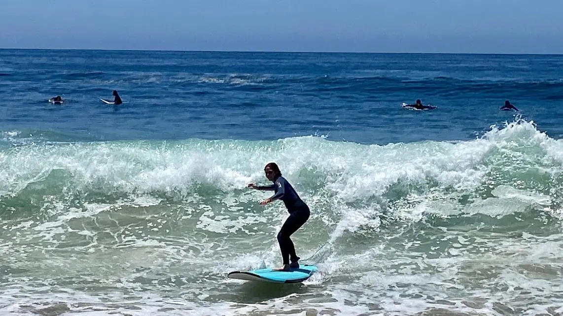
Laguna Ethos
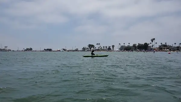
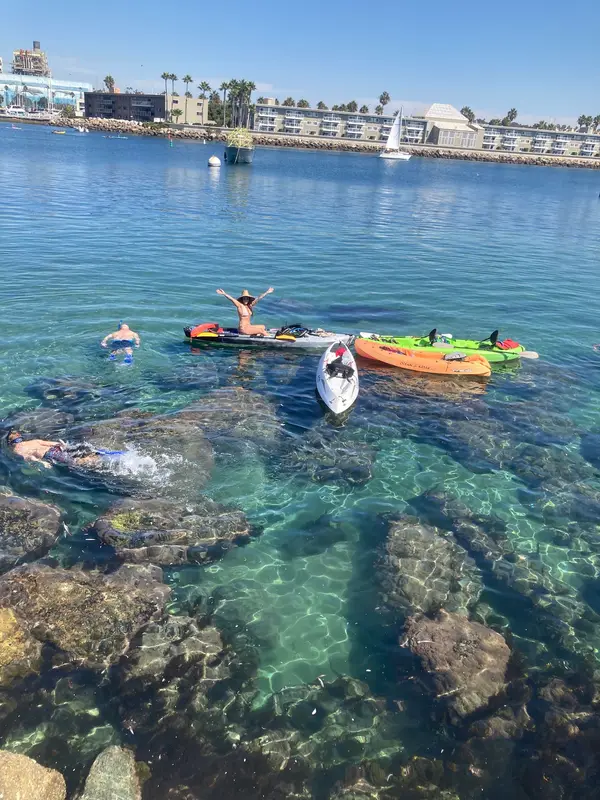
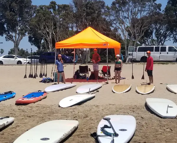
Laguna Ethos is a paddling school in Laguna Beach. They offer kayak and stand-up paddleboard tours. These tours explore the serene waters and hidden coves of Laguna Beach.
Gallery
Outfitter details
- Disciplines
- Lessons, Kayaking
Rivers & creeks near this outfitter
Loads the full map of the rivers near this listing. We leave it off by default so the page opens fast on mobile data.
Paddler reviews
What paddlers are saying
- KKenzie Cordray· 3 months ago
Fantastic kayaking experience! I would give more than 5 stars if I could. The company owner and guides were very friendly and professional. They treated all of the guests so well and answered everyone’s questions. They were very knowledgeable about local history, as well as the wildlife we saw. I felt very safe, and had so much fun! I plan on returning next time I visit Laguna Beach.
- KKristen Lunceford· 3 months ago
Had such a great time kayaking with Justin and our group. It was a fun, leisurely paddle and beautiful day out on the water. Justin made sure we knew exactly what to expect, got us launched easily and safely, and shared his genuine love of the ocean, wildlife, and Laguna along the way. You can tell he really enjoys what he does, and it made the whole experience even better. Already looking forward to coming back in August for surf lessons with him. Highly recommend!
- IIsaac Vallee· 2 months ago
5/5 – Fantastic experience from start to finish! Scott was friendly, knowledgeable, and super laid back. He shared interesting information about the area, made the trip fun, and helped us feel comfortable on the water. The views were incredible and the whole experience exceeded expectations. Would absolutely do it again! Kudos to Justin and team!
- JJon Rishi· 4 months ago
It was an amazing experience and Justin was a top notch, professional and knowledgeable kayaking guide. He prepared us well for our adventure and everything went smoothly from beginning to end. We saw lots of wildlife, including multitudes of cormorants, pelicans, terns , calico bass, garibaldis. Highlights included 3 bottlenose dolphins surfacing near us and baby leopard sharks swimming beneath us in the shallows. In addition to wildlife, Justin was knowledgeable about the history of the area and entertained us with stories behind many of the coastal estates and their owners. I also appreciated his common sense approach and ethos of sustainability. He was very friendly and personable and I highly recommend signing up for his open ocean kayak tours, whether you are a tourist or a resident. Trust me and you can thank me later.
Reviews powered by Google. Content belongs to its respective authors.
Typical flow by month
1973 to 2026
The water at Laguna Ethos typically runs highest in March, at a median 8.3 cfs, and lowest in August, at 0.8 cfs. The highest flow on record for any single day is 3,490 cfs, in 2011.
| Month | Typical (cfs) | Usual range (cfs) | Relative level |
|---|---|---|---|
| January | 5.2 | 3.3 to 13 | |
| February | 7.2 | 3.5 to 25 | |
| March | 8.3 | 3.9 to 24 | |
| April | 4.8 | 2.4 to 12 | |
| May | 3.1 | 1.5 to 6.3 | |
| June | 1.6 | 0.8 to 3.0 | |
| July | 1.3 | 0.6 to 2.2 | |
| August | 0.8 | 0.4 to 1.7 | |
| September | 1.1 | 0.5 to 2.3 | |
| October | 1.5 | 0.6 to 3.2 | |
| November | 2.5 | 1.0 to 4.8 | |
| December | 4.6 | 2.3 to 10 |
Typical is the median of each month’s daily median values, and the usual range runs from the median 25th to the median 75th percentile, across about 42 years of record. Statistics published by the US Geological Survey for Arroyo Trabuco at San Juan Capistrano CA (site 11047300). Conditions on any given day can fall well outside the usual range. Check the current reading before you go.
Current conditions
Streamflow
1.8 cfs
Normal (66th)
Water level
10.74 ft
High today
75°F
Wind
7 kt
Gusts 8 kt
Rain chance
4%
Week ahead
Forecast from Open-Meteo global models (NOAA & ECMWF).
More outfitters in California
Also nearby
Other ways to get outside within about an hour of here.
Free tools
Your free outdoor toolkit

Everything Map
Listings, trails, spots, clubs and public land on a single full-screen map. Switch layers on and off, then tap any point for the details.
Open Everything MapRiver Explorer
Explore named rivers from the USGS hydrography dataset. Filter by water type or whitewater class.
Open River ExplorerRoute Planner
Drop stops on a map and watch distance and drive time add up. Export a GPX or share the link.
Open Route PlannerPaddling Clubs
Browse local clubs with meeting info and how to join, or start your own for free.
Open Paddling ClubsLive Conditions
Real-time conditions spot by spot, pulled from public weather feeds, before you commit to the drive.
Open Live ConditionsWebcams
Live camera feeds from popular spots. Eyeball the crowd, the surf, or the snow before you go.
Open Webcams


