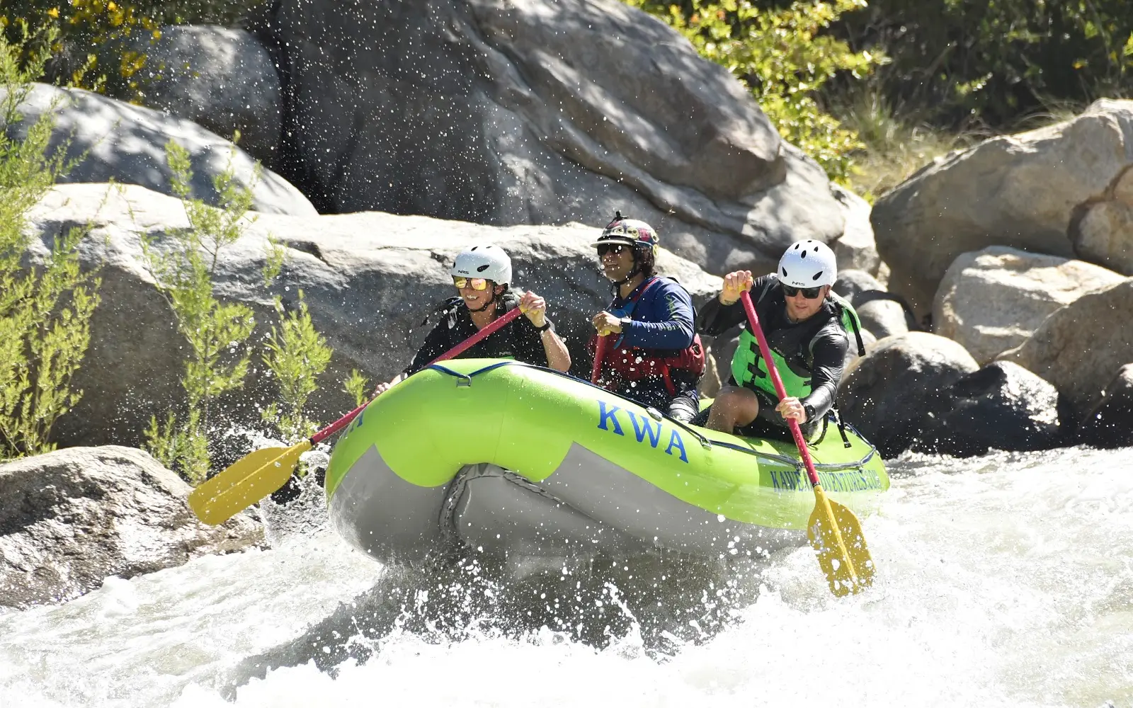
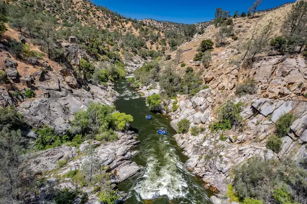
Kaweah Whitewater Adventures
About
Gallery
Outfitter details
- Disciplines
- Whitewater, Rafting
Paddler reviews
Rating from Google.
Around here
Around Kaweah Whitewater Adventures
- Horse CreekCampground · 84 sites4.6 mi
- Potwisha CampgroundCampground · 40 sites7.7 mi
- Buckeye Flat CampgroundCampground · 28 sites9.5 mi
- Grouse Valley CabinsCabin rental11.2 mi
- Atwell Mill CampgroundCampground · 19 sites13.2 mi
- Dorst Creek Campground-Sequoia and Kings Canyon National ParkCampground · 204 sites14.3 mi
- Case Mountain Extensive Recreation Management AreaRecreation area2.4 mi (opens in a new tab)
- Foothills Visitor CenterVisitor center5.5 mi (opens in a new tab)
- Kaweah LakeRecreation area5.8 mi (opens in a new tab)
- Lodgepole Visitor CenterVisitor center14.7 mi (opens in a new tab)
- Kings Canyon Visitor CenterVisitor center20.8 mi (opens in a new tab)
Before you go
Data Source: Recreation.gov · Source: USGS GNIS · Public land: USGS PAD-US
Typical flow by month
2014 to 2026
The water at Kaweah Whitewater Adventures typically runs highest in May, at a median 76 cfs, and lowest in September, at 0.2 cfs. The highest flow on record for any single day is 466 cfs, in 2018.
Show the numbers
| Month | Typical (cfs) | Usual range (cfs) |
|---|---|---|
| January | 5.4 | 2.8 to 8.1 |
| February | 7.4 | 5.8 to 13 |
| March | 9.5 | 6.7 to 17 |
| April | 33 | 21 to 51 |
| May | 76 | 46 to 138 |
| June | 41 | 12 to 181 |
| July | 2.7 | 0.7 to 86 |
| August | 0.5 | 0.3 to 6.8 |
| September | 0.2 | 0.1 to 1.4 |
| October | 0.3 | 0.1 to 1.2 |
| November | 1.6 | 0.2 to 4.8 |
| December | 5.3 | 1.4 to 6.8 |
Typical is the median of each month’s daily median values, and the usual range runs from the median 25th to the median 75th percentile, across about 12 years of record. Statistics published by the US Geological Survey for Marble Fork Kaweah R above Horse C near Lodgepole CA (site 11206820). Conditions on any given day can fall well outside the usual range. Check the current reading before you go.
Current conditions
Today · Fri
95Go/ 100
FogHigh 70°F, low 51°FRain 0%Wind 5 kt, gusts 5
Streamflow
5.6 cfs
Above normal (83rd)
Water level
7.15 ft
Water
42°F
Air quality
29 Good
Sequoia and Kings Canyon - Ash Mountain monitor, 9 km
National Weather Service
NWS issues forecasts here only during high water.
Forecast from Open-Meteo global models (NOAA & ECMWF). Flood stages and forecasts: NOAA National Weather Service. Air quality: National Park Service via EPA AirNow. Preliminary data, not verified.
More outfitters in California
Also nearby
Other ways to get outside within about an hour of here.

Free tools