Half Moon Bay Kayak Co.
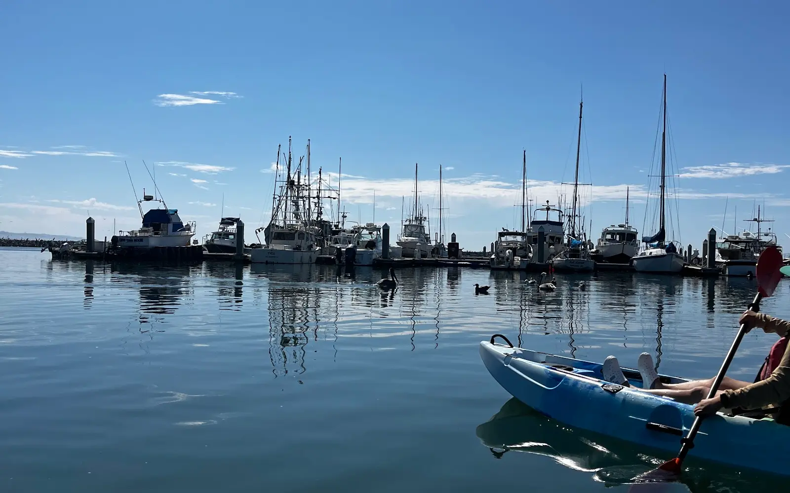
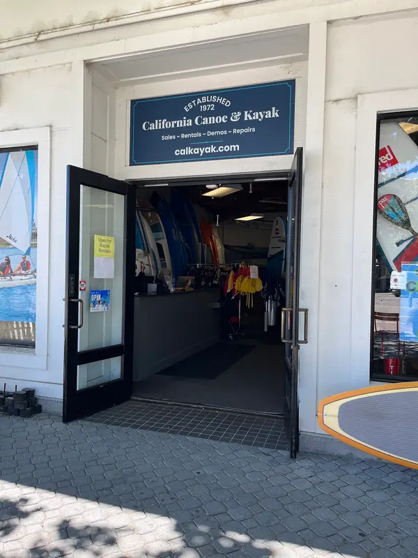
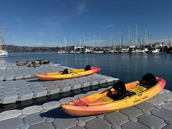
Half Moon Bay Kayak Co. is a kayak & canoe livery in Half Moon Bay. The outfitter also rents bikes for the California Coastal Trail.
Gallery
Outfitter details
- Disciplines
- Kayaking
Paddler reviews
Rating from Google.
Around here
Around Half Moon Bay Kayak Co.
- Rob Hill Group CampgroundGroup camp · 4 sites20.3 mi
- Aquatic Park Cove, Black Point Overnight Anchoring, Sailing Vessels only (auxiliary engine OK)Campground · 12 sites21.3 mi
- Bicentennial CampgroundCampground · 3 sites22.7 mi
- Kirby Cove CampgroundCampground · 5 sites23.3 mi
- Hawk CampgroundCampground · 3 sites24.3 mi
- Haypress CampgroundCampground · 6 sites24.9 mi
- Lands End Lookout Visitor CenterVisitor center19.2 mi (opens in a new tab)
- William Penn Mott, Jr. Presidio Visitor CenterVisitor center20.7 mi (opens in a new tab)
- Greater Farallones National Marine SanctuaryRecreation area20.9 mi (opens in a new tab)
- Greater Farallones and Cordell Bank Visitor CenterVisitor center21.1 mi (opens in a new tab)
- San Francisco Maritime Visitor CenterVisitor center21.3 mi (opens in a new tab)
- San Francisco Maritime National Historical ParkRecreation area21.4 mi (opens in a new tab)
Data Source: Recreation.gov · Source: USGS GNIS · Public land: USGS PAD-US
Typical flow by month
1966 to 2026
The water at Half Moon Bay Kayak Co. typically runs highest in March, at a median 18 cfs, and lowest in September, at 0.7 cfs. The highest flow on record for any single day is 2,150 cfs, in 1982.
Show the numbers
| Month | Typical (cfs) | Usual range (cfs) |
|---|---|---|
| January | 12 | 4.0 to 39 |
| February | 17 | 6.8 to 51 |
| March | 18 | 7.5 to 48 |
| April | 11 | 5.0 to 24 |
| May | 4.5 | 2.4 to 9.9 |
| June | 2.3 | 1.0 to 5.1 |
| July | 1.6 | 0.4 to 2.7 |
| August | 1.1 | 0.2 to 2.1 |
| September | 0.7 | 0.0 to 1.7 |
| October | 1.2 | 0.0 to 2.5 |
| November | 2.1 | 1.2 to 4.5 |
| December | 4.5 | 2.3 to 14 |
Typical is the median of each month’s daily median values, and the usual range runs from the median 25th to the median 75th percentile, across about 60 years of record. Statistics published by the US Geological Survey for Pilarcitos C at Half Moon Bay CA (site 11162630). Conditions on any given day can fall well outside the usual range. Check the current reading before you go.
Current conditions
Today · Mon
89Go/ 100
FogHigh 66°F, low 56°FRain 1%Wind 7 kt, gusts 14
Streamflow
0.0 cfs
Much below normal (5th)
Water level
2.35 ft
Air quality
11 Good
Redwood City monitor, 25 km
National Weather Service
Flood stage 9.1 ft. NWS reads 2.36 ft here.
Tides
Falling
Low -0.7 ft at 4:51 PM
Predicted at Pillar Point Harbor, Half Moon Bay, under 1 km away.
Get a 2027 tide calendar for this stationForecast from Open-Meteo global models (NOAA & ECMWF). Flood stages and forecasts: NOAA National Weather Service. Air quality: Bay Area Air District via EPA AirNow. Preliminary data, not verified. Tide predictions: NOAA CO-OPS, feet above mean lower low water.
More outfitters in California
Also nearby
Other ways to get outside within about an hour of here.
Free tools