Glacier Raft Company
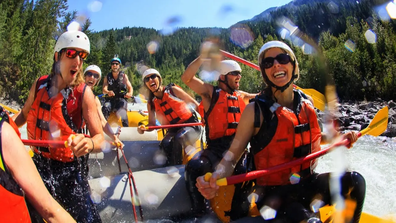
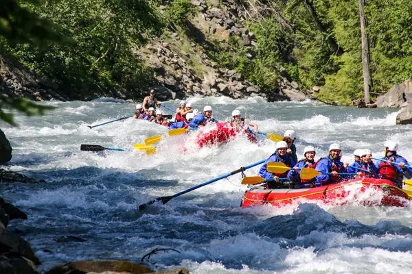
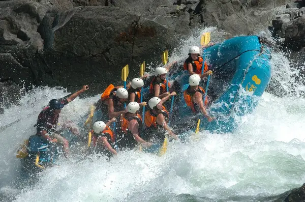
Glacier Raft Company is a rafting outfitter based in Golden, BC.
Gallery
Outfitter details
- Disciplines
- Rafting
Around here
Around Glacier Raft Company
- Cedar LakeRecreation site2.8 mi (opens in a new tab)
- Loon LakeRecreation site18 mi (opens in a new tab)
- Bluewater CreekRecreation site18.5 mi (opens in a new tab)
- Bluewater BridgeRecreation site20.6 mi (opens in a new tab)
- Three Island LakeRecreation site21 mi (opens in a new tab)
- Wilbur LakeRecreation site23.5 mi (opens in a new tab)
Source: Recreation Sites and Trails BC, Open Government Licence (British Columbia) · Source: Canadian Geographical Names Database (NRCan), Open Government Licence - Canada
Typical flow by month
1911 to 2026
The water at Glacier Raft Company typically runs highest in June, at a median 4,450 cfs, and lowest in February, at 200 cfs. The highest flow on record for any single day is 14,197 cfs, in 1916.
Show the numbers
| Month | Typical (cfs) | Usual range (cfs) |
|---|---|---|
| January | 230 | 194 to 262 |
| February | 200 | 178 to 219 |
| March | 200 | 177 to 234 |
| April | 309 | 249 to 415 |
| May | 1,771 | 1,237 to 2,882 |
| June | 4,450 | 3,430 to 5,677 |
| July | 3,726 | 3,065 to 4,971 |
| August | 2,387 | 2,050 to 2,742 |
| September | 1,257 | 1,047 to 1,462 |
| October | 636 | 531 to 809 |
| November | 392 | 318 to 471 |
| December | 260 | 217 to 312 |
Typical is the median of each month’s daily median values, and the usual range runs from the median 25th to the median 75th percentile, across about 62 years of record. Statistics published by the US Geological Survey for Kicking Horse River at Golden (site 08NA006). Conditions on any given day can fall well outside the usual range. Check the current reading before you go.
Current conditions
Today · Mon
77Go/ 100
FogHigh 51°F, low 36°FRain 3%Wind 7 kt, gusts 10
Streamflow
410 cfs
Below normal (17th)
Water level
10.51 ft
Air quality
53 Moderate
Golden Helipad monitor, 1 km
Forecast from Open-Meteo global models (NOAA & ECMWF). Air quality: British Columbia Ministry of Environment via EPA AirNow. Preliminary data, not verified. River data: Water Survey of Canada, Open Government Licence - Canada.
More outfitters in British Columbia
Free tools