Cedar Bend Paddle Co.
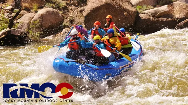
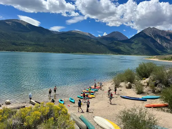
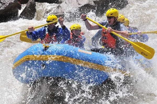
A river shop on the Arkansas in Buena Vista: afternoon raft trips through the canyon, a guided morning kayak trip, and kayak rentals with a shuttle to the put-in.
Gallery
Rivers & creeks near this outfitter
Loads the full map of the rivers near this listing. We leave it off by default so the page opens fast on mobile data.
Paddler reviews
“Booked through the app in two minutes and had a confirmation right away. Could not have been easier.”
Response from operator
We really appreciate the kind words and cannot wait to host you again.
“Great communication in the lead-up, and they went out of their way to make it special. Highly recommend.”
“Exactly what we hoped for. Professional, well organised, and a lot of fun. We will definitely be back.”
“First-timers and they took such good care of us. Patient, knowledgeable, and genuinely kind people.”
Response from operator
We really appreciate the kind words and cannot wait to host you again.
“Top-notch operation. Clean gear, on time, and clearly cared about us having a good day on the water.”
“Five stars. Easy to find on the directory, easy to book, and the day exceeded expectations.”
Typical flow by month
1999 to 2025
The water at Cedar Bend Paddle Co. typically runs highest in June, at a median 1,560 cfs, and lowest in September, at 193 cfs. The highest flow on record for any single day is 4,200 cfs, in 2015.
Show the numbers
| Month | Typical (cfs) | Usual range (cfs) |
|---|---|---|
| April | 218 | 185 to 272 |
| May | 642 | 384 to 896 |
| June | 1,560 | 1,008 to 2,180 |
| July | 672 | 592 to 1,010 |
| August | 444 | 386 to 523 |
| September | 193 | 157 to 234 |
Typical is the median of each month’s daily median values, and the usual range runs from the median 25th to the median 75th percentile, across about 27 years of record. Statistics published by the US Geological Survey for Arkansas River below Granite, CO (site 07087050). Conditions on any given day can fall well outside the usual range. Check the current reading before you go.
Current conditions
High today
72°F
Wind
12 kt
Gusts 18 kt
Rain chance
0%
Week ahead
Forecast from Open-Meteo global models (NOAA & ECMWF).
More outfitters in Colorado
Also nearby
Other ways to get outside within about an hour of here.
Free tools
Your free outdoor toolkit

Everything Map
Listings, trails, spots, clubs and public land on a single full-screen map. Switch layers on and off, then tap any point for the details.
Open Everything MapRiver Explorer
Explore named rivers from the USGS hydrography dataset. Filter by water type or whitewater class.
Open River ExplorerRoute Planner
Drop stops on a map and watch distance and drive time add up. Export a GPX or share the link.
Open Route PlannerPaddling Clubs
Browse local clubs with meeting info and how to join, or start your own for free.
Open Paddling ClubsPhoto ID
Point your camera at whatever you found and get a structured identification. No signup.
Open Photo IDGear Checklists
Printable, save-as-you-go packing lists. Tick items off and pull them up on your phone.
Open Gear ChecklistsMaintenance Schedules
Pick your equipment and get its full service schedule. Add your usage to turn intervals into dates.
Open Maintenance Schedules