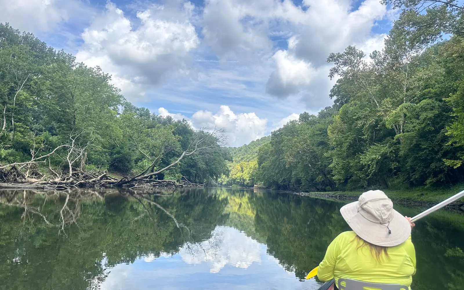
Canoe the Caney
About
Gallery
Outfitter details
- Disciplines
- Kayaking, Canoeing
Rivers & creeks near this outfitter
Loads the full map of the rivers near this listing. We leave it off by default so the page opens fast on mobile data.
Paddler reviews
What paddlers are saying
- Ddanielle wiley· 2 months ago
My dad, brother, sister in law, my children and myself all took this trip, we had two canoes and two kayaks for the trip. We did the first leg of the river. It took roughly 2 or so hours. It definitely felt like it went faster though! It was awesome! Billie who helped get us booked and all set up was super informative and knew the river well! Explained everything to a T and was super fun and made sure we were all safe going down the river. Our driver to the launch site was great too. Unloading all of our gear and made sure our life jackets were on and secure and sent us on our way. The views alone were amazing. The water was a chilly 54 degrees but that didnt stop us from splashing around a bit!
- EEmi Canahuati· 2 months ago
This was an amazing experience! The river is just so beautiful And clear especially when it's not crowded. The staff is great and friendly. Def highly recommend!
- DDarryl Edmondson· 2 months ago
My 3rd time doing the tour and I love it. The maimln complaint I have and its been all 3 times is the wait time to get loaded up and get back to the parking lot. We sat on the bus for almost exactly 1 hour waiting to leave. One small bus was out of gas so they have to load kayaks/canoes then swap the trailer to another truck which shouldn't have affected our bus ride back but for whatever reason it did. Also the yearly price increase was significant ehich i didn't like and the deal of paying pretty much the same price if you bring your own vessel vs renting from yall was not very logical. Again, love the tour just think it's starting to get a lil steep on the price and the wait times to return maybe cpuld be looked at to make it more time efficient.
- CCharlie Matthews· a year ago
Such a fun way to enjoy some family time. But do the short one if you are a novice. It’s about 3 hours if the turbines aren’t running at the dam. Bring a cooler, bring food, but don’t bring a watch. Be one with nature and present with family. First class organization and great facilities.
Reviews powered by Google. Content belongs to its respective authors.
Typical flow by month
1991 to 2026
The water at Canoe the Caney typically runs highest in March, at a median 321 cfs, and lowest in September, at 29 cfs. The highest flow on record for any single day is 20,000 cfs, in 2021.
| Month | Typical (cfs) | Usual range (cfs) | Relative level |
|---|---|---|---|
| January | 271 | 146 to 572 | |
| February | 313 | 184 to 688 | |
| March | 321 | 197 to 611 | |
| April | 222 | 136 to 425 | |
| May | 128 | 85 to 215 | |
| June | 72 | 43 to 145 | |
| July | 59 | 34 to 112 | |
| August | 37 | 25 to 78 | |
| September | 29 | 19 to 70 | |
| October | 34 | 20 to 65 | |
| November | 52 | 32 to 148 | |
| December | 236 | 104 to 514 |
Typical is the median of each month’s daily median values, and the usual range runs from the median 25th to the median 75th percentile, across about 35 years of record. Statistics published by the US Geological Survey for Smith Fork at Temperance Hall, TN (site 03424730). Conditions on any given day can fall well outside the usual range. Check the current reading before you go.
Current conditions
Streamflow
7.8 cfs
Much below normal (5th)
Water level
2.51 ft
High today
90°F
Wind
9 kt
Gusts 15 kt
Rain chance
10%
Week ahead
Forecast from Open-Meteo global models (NOAA & ECMWF).
More outfitters in Tennessee
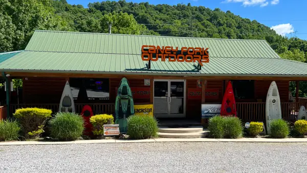
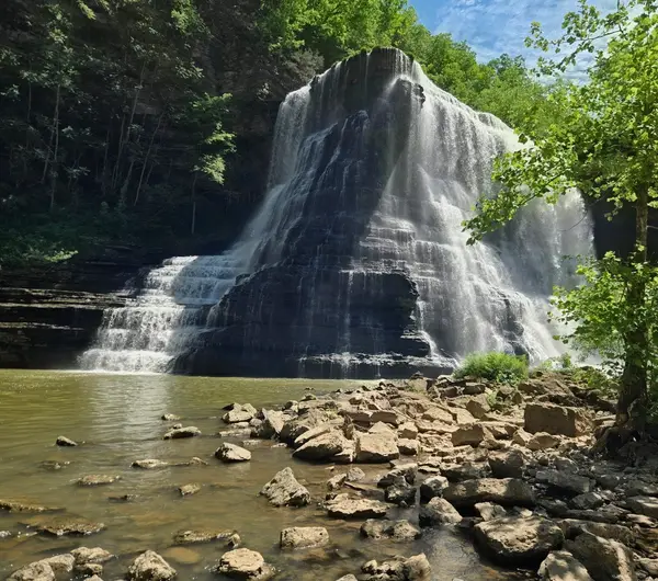
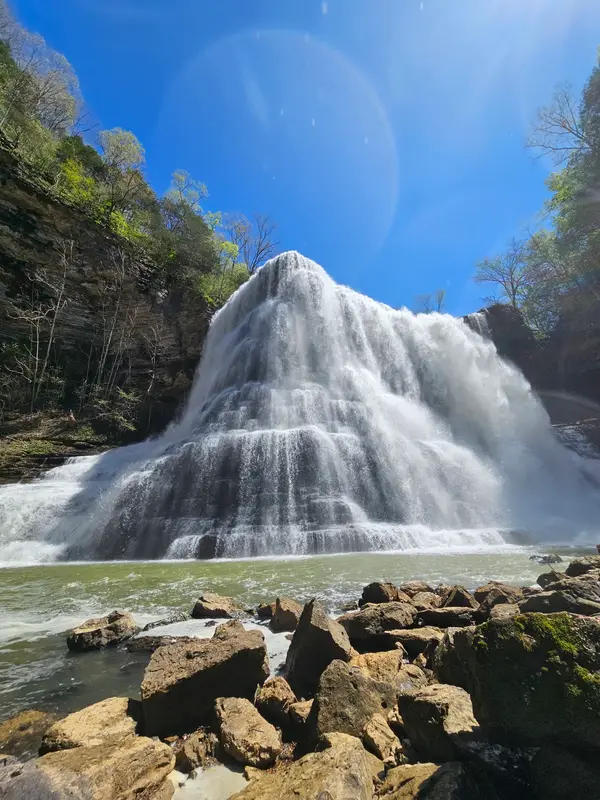
Also nearby
Other ways to get outside within about an hour of here.
Free tools
Your free outdoor toolkit

Everything Map
Listings, trails, spots, clubs and public land on a single full-screen map. Switch layers on and off, then tap any point for the details.
Open Everything MapRiver Explorer
Explore named rivers from the USGS hydrography dataset. Filter by water type or whitewater class.
Open River ExplorerRoute Planner
Drop stops on a map and watch distance and drive time add up. Export a GPX or share the link.
Open Route PlannerPaddling Clubs
Browse local clubs with meeting info and how to join, or start your own for free.
Open Paddling ClubsLive Conditions
Real-time conditions spot by spot, pulled from public weather feeds, before you commit to the drive.
Open Live ConditionsWebcams
Live camera feeds from popular spots. Eyeball the crowd, the surf, or the snow before you go.
Open Webcams


