Blue Waters Kayaking
About
Gallery
Outfitter details
- Disciplines
- Kayaking, Canoeing
Rivers & creeks near this outfitter
Loads the full map of the rivers near this listing. We leave it off by default so the page opens fast on mobile data.
Paddler reviews
What paddlers are saying
- HHyeyoung Lee· 5 months ago
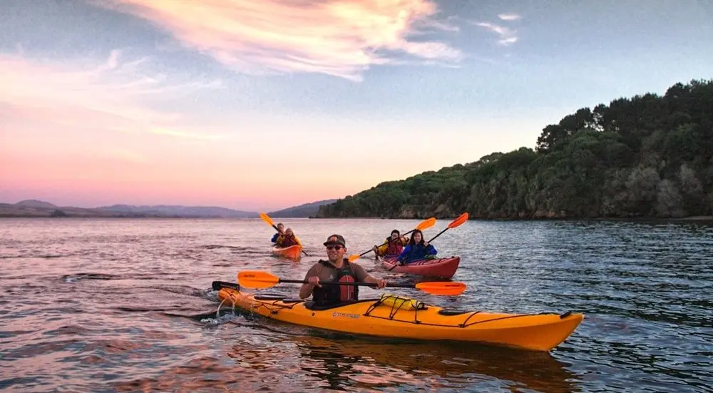
We had a wonderful kayaking experience with Blue Water Kayaking, especially as a family with kids. Claire was incredibly thoughtful and attentive throughout the tour. As a current teacher, she naturally knew how to engage with children and made sure they felt comfortable and included at every step. Her calm and clear guidance made it easy even for beginners to enjoy the experience. It felt like we had the entire Tomales Bay to ourselves, which allowed us to take our time and fully enjoy the peaceful surroundings. Along the way, we were able to observe various plants and wildlife, making the trip both fun and educational for the kids. Overall, it was a relaxing, safe, and enriching experience. I highly recommend it for families traveling with children.
- JJoan Falleiro· a month ago
Magical experience on the bioluminescence evening tour. Highly recommend! I was lucky to have a guide (Ben) since we were a party of 5. All the guides were wonderful! Well organized and worth going again.
- AAPRIL BALLAR· a month ago
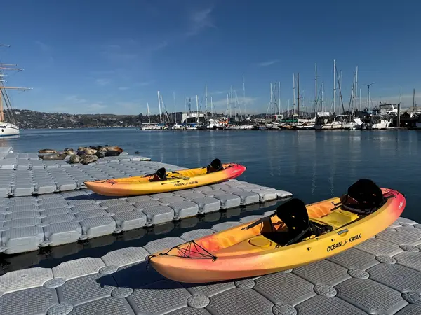
What a magical experience! Christy, Mandy, and the rest of the crew were amazing. They were super friendly and very attentive. I felt safe the whole tour and enjoyed all the fun facts they shared with us. The equipment was top notch, definitely the fanciest kayak I've ever been in. Would definitely book with Blue Waters Kayaking again!
- CCheyenne Morgan· a year ago
I was having a rough week and decided to rent a half-day kayak from Blue Waters Kayaking. Pamalah, Koben, Jeff and the squat guy (sorry I didn’t catch his name!) were all so kind and welcoming. They really went out of their way to make the process easy and made me feel comfortable before heading out. The paddle itself was beautiful, but what stood out most was how genuinely nice everyone was. It turned what could’ve just been a rental into a really positive experience I needed that day. I can’t recommend this place enough - if you’re looking for a peaceful escape on the water with people who truly care, Blue Waters Kayaking is the spot. I’ll definitely be coming back!!!
Reviews powered by Google. Content belongs to its respective authors.
Typical flow by month
1975 to 2026
The water at Blue Waters Kayaking typically runs highest in February, at a median 74 cfs, and lowest in August, at 7.0 cfs. The highest flow on record for any single day is 10,700 cfs, in 1982.
| Month | Typical (cfs) | Usual range (cfs) | Relative level |
|---|---|---|---|
| January | 52 | 29 to 203 | |
| February | 74 | 29 to 318 | |
| March | 73 | 30 to 243 | |
| April | 25 | 17 to 75 | |
| May | 13 | 11 to 17 | |
| June | 12 | 7.7 to 14 | |
| July | 7.8 | 5.8 to 8.8 | |
| August | 7.0 | 5.0 to 8.5 | |
| September | 7.2 | 5.0 to 8.4 | |
| October | 8.3 | 5.3 to 9.1 | |
| November | 18 | 9.3 to 25 | |
| December | 28 | 20 to 69 |
Typical is the median of each month’s daily median values, and the usual range runs from the median 25th to the median 75th percentile, across about 52 years of record. Statistics published by the US Geological Survey for Lagunitas C near PT Reyes Station CA (site 11460600). Conditions on any given day can fall well outside the usual range. Check the current reading before you go.
Current conditions
Streamflow
9.8 cfs
Much above normal (95th)
Water level
1.03 ft
High today
68°F
Wind
8 kt
Gusts 11 kt
Rain chance
1%
Week ahead
Forecast from Open-Meteo global models (NOAA & ECMWF).
More outfitters in California
Also nearby
Other ways to get outside within about an hour of here.
Free tools
Your free outdoor toolkit

Everything Map
Listings, trails, spots, clubs and public land on a single full-screen map. Switch layers on and off, then tap any point for the details.
Open Everything MapRiver Explorer
Explore named rivers from the USGS hydrography dataset. Filter by water type or whitewater class.
Open River ExplorerRoute Planner
Drop stops on a map and watch distance and drive time add up. Export a GPX or share the link.
Open Route PlannerPaddling Clubs
Browse local clubs with meeting info and how to join, or start your own for free.
Open Paddling ClubsLive Conditions
Real-time conditions spot by spot, pulled from public weather feeds, before you commit to the drive.
Open Live ConditionsWebcams
Live camera feeds from popular spots. Eyeball the crowd, the surf, or the snow before you go.
Open Webcams


