Little Oyster River
BC
36.4 cfs flowing now
1.4 km simulated section
24.7 km full mapped river
Current river
Real River Racing · Your pick
The line below follows the actual path of Little Oyster River, under its own real conditions. Same rules as the featured river. Back to the featured river.
The course
This course runs 0.87 mi of a 15.4 mi mapped river.
Elevation
446–525 ft
↓ 85 ft drop · steepest 23%
Today’s water
Every river here has a live gauge reading right now. Each outline is the river’s real shape, with the simulated section marked on it. Free runs use that river’s real flow and do not count as the featured run.
17 of 17 suggested
BC
36.4 cfs flowing now
1.4 km simulated section
24.7 km full mapped river
Current river
OR
129,000 cfs flowing now
1.4 km simulated section
100.0 km full mapped river
Open simulatorMI
206,000 cfs flowing now
1.4 km simulated section
46.1 km full mapped river
Open simulatorIL
45,500 cfs flowing now
1.4 km simulated section
72.7 km full mapped river
Open simulatorMO
29,800 cfs flowing now
1.4 km simulated section
77.6 km full mapped river
Open simulatorIN
811 cfs flowing now
1.4 km simulated section
70.6 km full mapped river
Open simulatorHow it works
The course is a real river from the map. It follows that river’s real course line and its real elevation drop, and the speed, wave size, and rock count come from its live USGS streamflow. Low water is slow and rocky; big water is fast and wavy.
A game, not a guide
This is a stylized time trial. The gates and rocks are invented, and nothing here says anything about how hard or safe the real river is. Real conditions change fast, so check the river’s page and local guidance before you get near actual water. See the real Little Oyster River.
Section names like The Esses are our labels for the shape of this line, not what locals call it.
More free tools
In your pocket
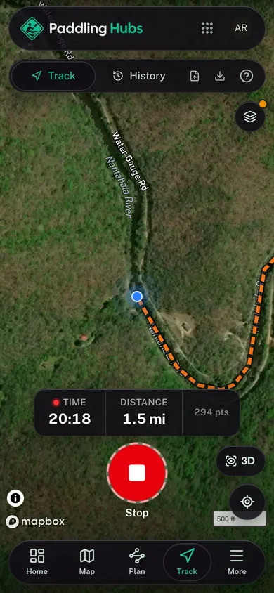
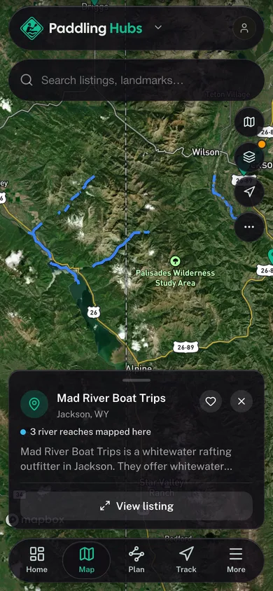
Free, no account needed. Put-in maps, named river reaches, and your trip log in your pocket.
Every launch in your pocket
Named reaches with class ratings on the map
Log your paddles in one timeline
Find the next put-in wherever you roam
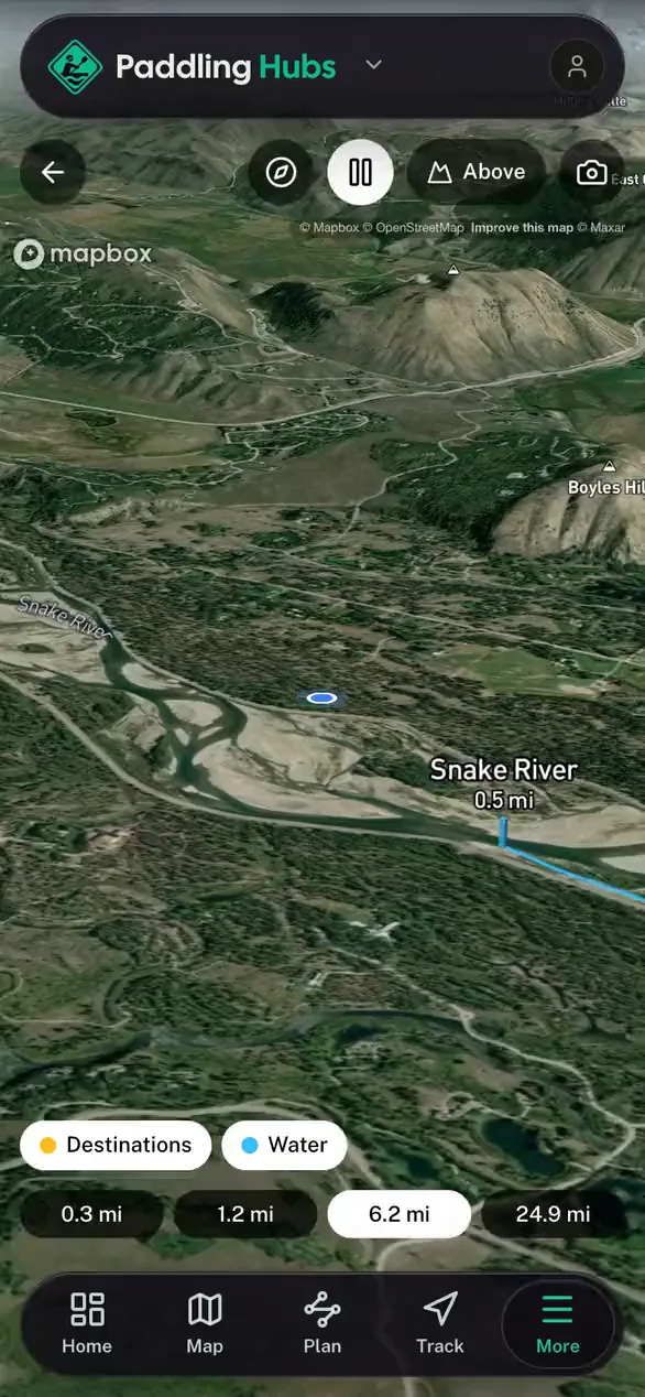
For Operators
Run your whole paddling outfitter from one cockpit.
Bookings, your website, your mobile app, and marketing, all in one place.